


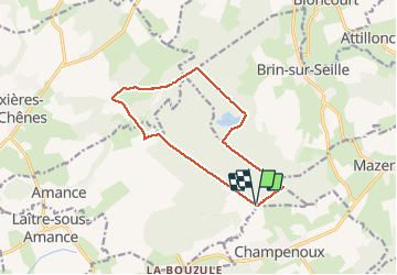

13,2 km | 16,9 km-effort


Benutzer


Kostenlosegpshiking-Anwendung
 SityTrail
IGN / Geografische Institute
SityTrail World
Die Welt öffnet sich für Sie
Tour Nordic Walking von 11,6 km verfügbar auf Großer Osten, Mörthe und Mosel, Amance. Diese Tour wird von DanielROLLET vorgeschlagen.
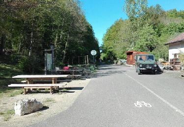
Marche nordique. Temps frais et humide - 9h50 à 10h55
Il neige juste à l'arrivée
Wandern
Wandern


sport

Nordic Walking
Nordic Walking

Wandern
Nordic Walking
Nordic Walking
Nordic Walking