


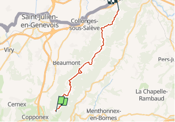

20 km | 32 km-effort


Benutzer


Kostenlosegpshiking-Anwendung
 SityTrail
IGN / Geografische Institute
SityTrail World
Die Welt öffnet sich für Sie
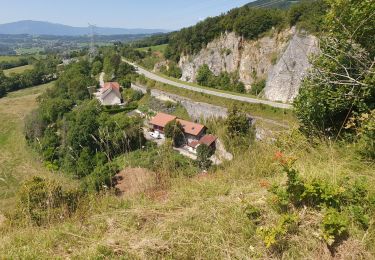
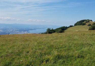
Tour Zu Fuß von 18,3 km verfügbar auf Auvergne-Rhone-Alpen, Hochsavoyen, Cruseilles. Diese Tour wird von chamois07 vorgeschlagen.
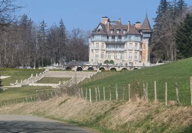
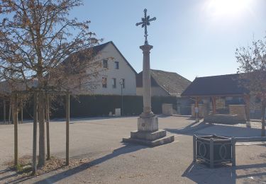
Se faire déposer au Château des Avenières.
Redescendre au Pas de l'Echelle par le téléphérique pour se faire récupérer.
Wandern
Wandern
Wandern
Wandern
Wandern
Wandern
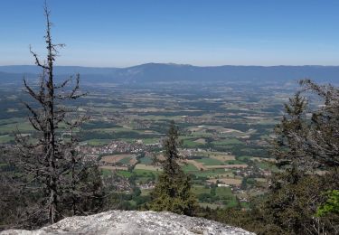
Wandern
Mountainbike
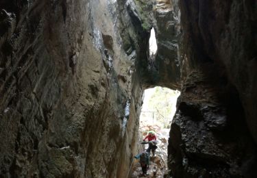
Klettersteig