22 km | 23 km-effort
catherine1
thle
Benutzer
Länge
16,2 km
Maximale Höhe
149 m
Positive Höhendifferenz
170 m
Km-Effort
18,5 km
Min. Höhe
87 m
Negative Höhendifferenz
170 m
Boucle
Ja
Erstellungsdatum :
2014-12-10 00:00:00.0
Letzte Änderung :
2014-12-10 00:00:00.0
10m
Schwierigkeit : Einfach
Kostenlosegpshiking-Anwendung
Über SityTrail
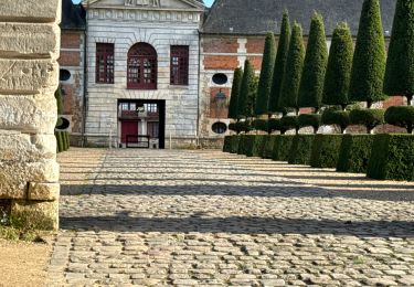
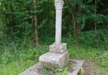
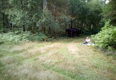
Tour Pferd von 16,2 km verfügbar auf Normandie, Eure, Saint-Aubin-d'Écrosville. Diese Tour wird von thle vorgeschlagen.
Ort
Land:
France
Region :
Normandie
Abteilung/Provinz :
Eure
Kommune :
Saint-Aubin-d'Écrosville
Standort:
Unknown
Gehen Sie:(Dec)
Gehen Sie:(UTM)
352700 ; 5445259 (31U) N.
Kommentare
Touren in der Umgebung
Vallée de l’oison et Brionne
Rennrad
Einfach
Cesseville,
Normandie,
Eure,
France
91 km | 103 km-effort
4h 32min
Nein
Boucle des coteaux - Quittebeuf
Fahrrad
Medium
Quittebeuf,
Normandie,
Eure,
France
34 km | 37 km-effort
1h 40min
Ja
Boucle du Plateau - Quittebeuf
Fahrrad
Medium
Quittebeuf,
Normandie,
Eure,
France
42 km | 45 km-effort
2h 15min
Ja
Boucle des Templiers - Ste Colombe la Commanderie
Fahrrad
Medium
Sainte-Colombe-la-Commanderie,
Normandie,
Eure,
France
28 km | 29 km-effort
1h 30min
Ja