


17,1 km | 23 km-effort


Benutzer


Kostenlosegpshiking-Anwendung
 SityTrail
IGN / Geografische Institute
SityTrail World
Die Welt öffnet sich für Sie
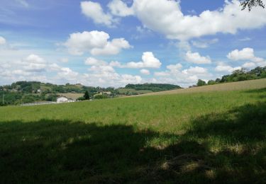
Tour Wandern von 5,4 km verfügbar auf Auvergne-Rhone-Alpen, Rhône, Chaponnay. Diese Tour wird von jtraverse vorgeschlagen.
• GPS Pk 45.6377, 4.9283 ou 45°38'15.7"N 4°55'41.9"E
• adresse : 2216 rue Humbert d’Aillon
• ou Centre Sportif Jean Gabin - Rue du stade 69970 Chaponnay.
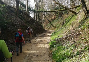
Balade à plat, 5.4km, très peu de goudron dans une zone humide récemment aménagée par la commune.
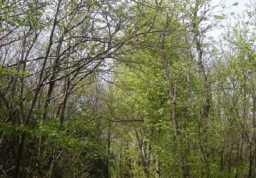
Vers la fin du parcours, dans le parcours de santé ,
Des bancs un peu partout et des tables de pique-nique.
On peut arrêter les fatigués à l'ombre dans le parc de Chaponnay et emmener les autres pour jusqu'à 1500m de plus sur le parcours de santé avant de rejoindre les voitures - ne pas se fier aux cartes : certains chemins n'existent plus et il y en a plein de nouveaux.
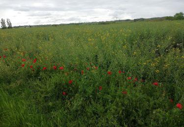
Nombreuses observations possibles dans la zone humide (oiseaux, grenouilles (très bavardes))
Wandern

Mountainbike
Zu Fuß
Wandern
Mountainbike
Wandern
Mountainbike
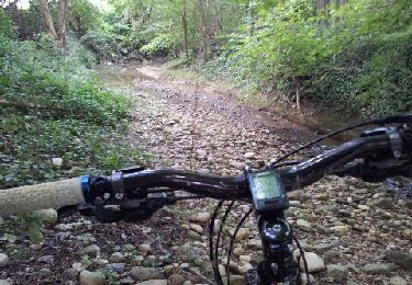
Mountainbike
Mountainbike