


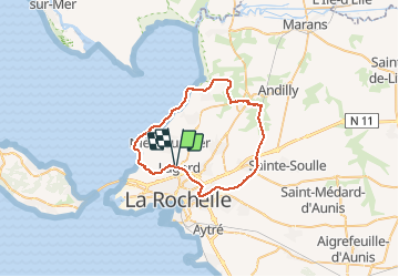

16,2 km | 17,5 km-effort


Benutzer


Kostenlosegpshiking-Anwendung
 SityTrail
IGN / Geografische Institute
SityTrail World
Die Welt öffnet sich für Sie
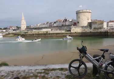
Tour Mountainbike von 44 km verfügbar auf Neu-Aquitanien, Charente-Maritime, Lagord. Diese Tour wird von ludol vorgeschlagen.
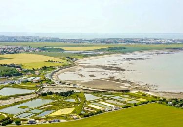
Tour des marais de villedoux, canal et front de mer.
À faire par terrain sec, sinon c'est beaucoup plus difficile.

Fahrrad

sport
Wandern
Hybrid-Bike
Wandern
Wandern
Wandern
Wandern
Fahrrad