


5,4 km | 9,5 km-effort

Benutzer


Kostenlosegpshiking-Anwendung
 SityTrail
IGN / Geografische Institute
SityTrail World
Die Welt öffnet sich für Sie
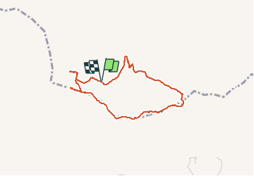
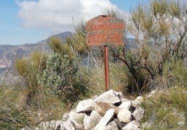
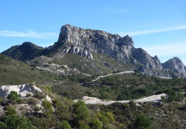
Tour Wandern von 4,1 km verfügbar auf Andalusien, Granada, Otívar. Diese Tour wird von jpipacific vorgeschlagen.
Accès au départ assez difficile sans 4X4 ou moto Trail ce qui est mon cas. A moins de partir de plus loin.
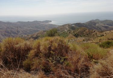
Rando assez difficile. Les dénivelés sont assez sévères.
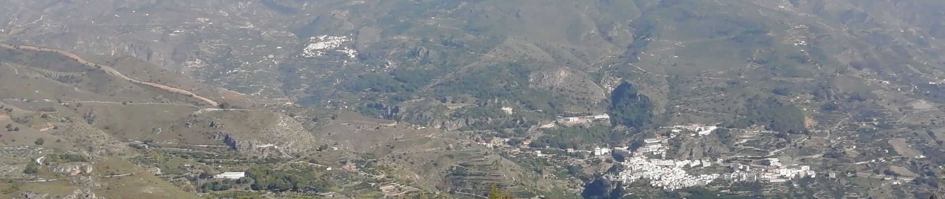
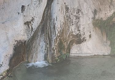
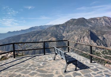
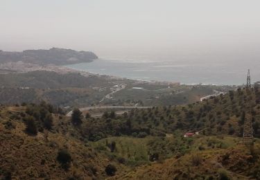
Les paysages sont très beaux avec vues sur la mer, sur les pointes de la Sierra Nevada et sur toutes les montagnes alentour.


Wandern
Wandern
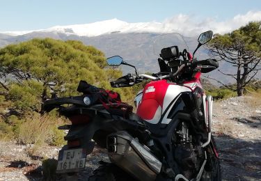
Moto-Cross

Wandern
Wandern
Zu Fuß
Wandern
Wandern

Wandern