


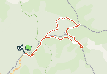

6,5 km | 10,5 km-effort

Benutzer


Kostenlosegpshiking-Anwendung
 SityTrail
IGN / Geografische Institute
SityTrail World
Die Welt öffnet sich für Sie
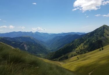
Tour Schneeschuhwandern von 10,6 km verfügbar auf Provence-Alpes-Côte d'Azur, Seealpen, Moulinet. Diese Tour wird von aris vorgeschlagen.
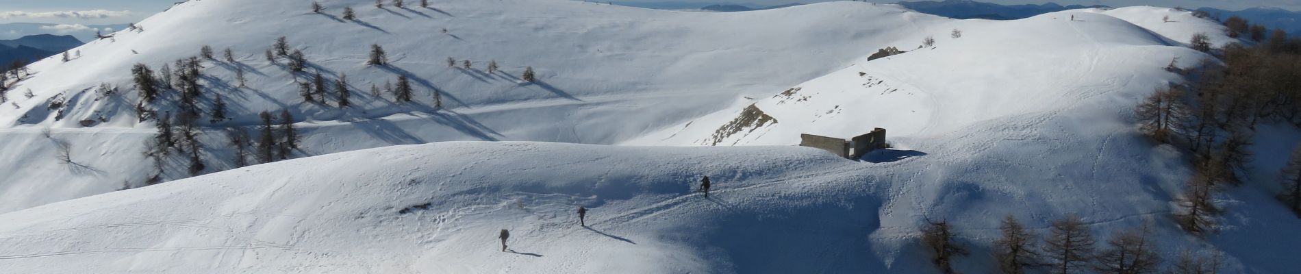
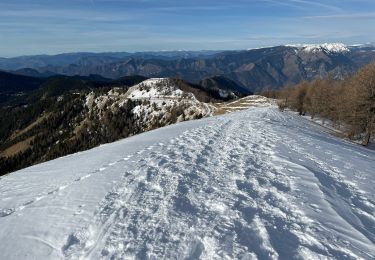
Pas de difficultés, sauf le couloir un peu raide et hors sentier entre la vacherie de l'Ortiguier et le fort de la Redoute : neige dure, crampons nécessaires.
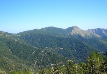
Magnifiques vues sur le Mercantour (Bégo, Cime du Diable...) et la Corse


Zu Fuß

Zu Fuß
Zu Fuß
Schneeschuhwandern
Wandern

Wandern
Wandern
Wandern
Wandern