


4,6 km | 7 km-effort


Benutzer


Kostenlosegpshiking-Anwendung
 SityTrail
IGN / Geografische Institute
SityTrail World
Die Welt öffnet sich für Sie
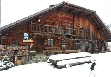
Tour Andere Aktivitäten von 7,8 km verfügbar auf Waadt, District de la Riviera-Pays-d’Enhaut, Blonay. Diese Tour wird von asc vorgeschlagen.
Ascension de la Ruinette par le col de la Lire, depuis le bas du barrage de Mauvoisin
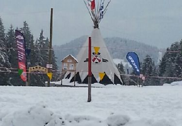
Schneeschuhwandern
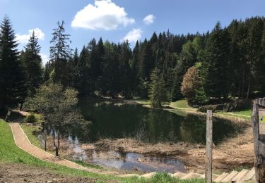
Zu Fuß

Schneeschuhwandern
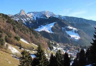
Wandern
Wandern

Wandern
Schneeschuhwandern

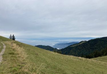
Andere Aktivitäten

Fahrrad