


22 km | 31 km-effort

Benutzer


Kostenlosegpshiking-Anwendung
 SityTrail
IGN / Geografische Institute
SityTrail World
Die Welt öffnet sich für Sie
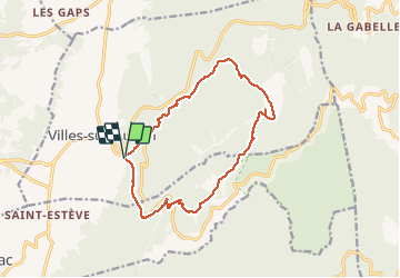
Tour Wandern von 14,3 km verfügbar auf Provence-Alpes-Côte d'Azur, Vaucluse, Villes-sur-Auzon. Diese Tour wird von FLORENSAC vorgeschlagen.
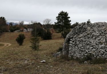
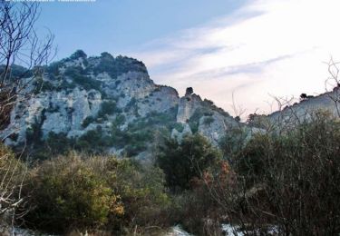
Jolie randonnee au dessus de Villes sur Auzon avec de belles bories à voir en chemin
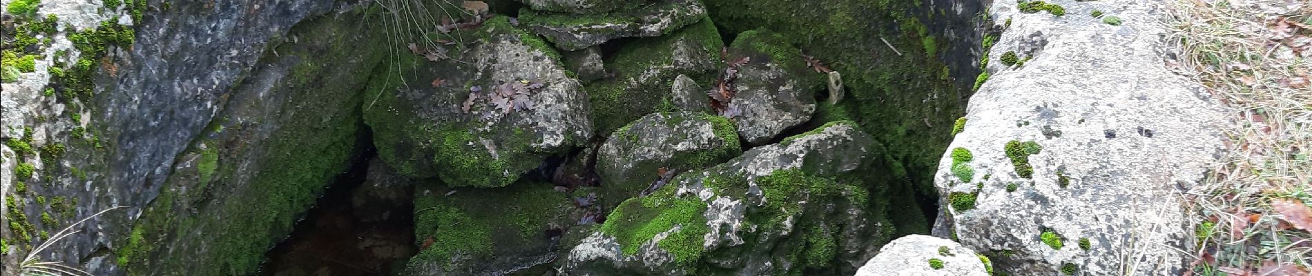
NE PAS OUBLIER d'aller voir l'aiguier de PEIRAFISE SUR LA DROITE
sortir du chemin initial pour aller voir la bergerie en très bon etât
nous avons déjeuner devant celle ci un lieu très à l'abri
attention en arrivant à LA LAUZE traverser le village et bien suivre le tracé car le chemin s'est un peu perdu a deux endroits


Wandern

Wandern
Wandern
Wandern
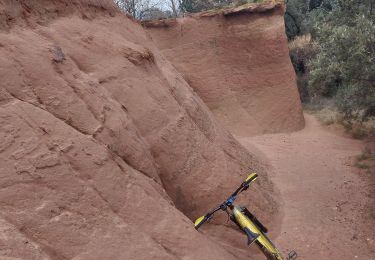
Mountainbike

Mountainbike
Wandern
Wandern
Wandern