


25 km | 33 km-effort


Benutzer


Kostenlosegpshiking-Anwendung
 SityTrail
IGN / Geografische Institute
SityTrail World
Die Welt öffnet sich für Sie
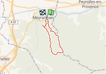
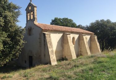
Tour Wandern von 10 km verfügbar auf Provence-Alpes-Côte d'Azur, Bouches-du-Rhône, Meyrargues. Diese Tour wird von martilin vorgeschlagen.
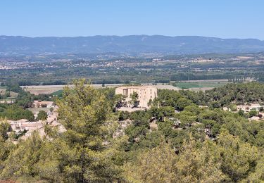
très agréable balades au dessus du village de Meyrargues
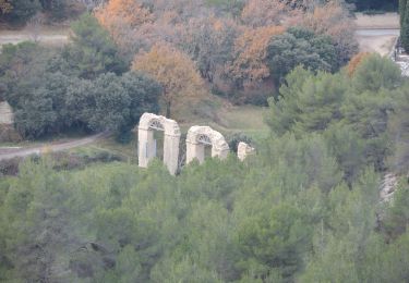
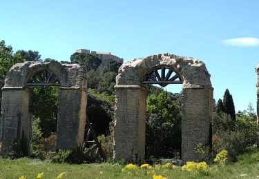
magnifique vue à la table d'orientation sur le château et la Durance
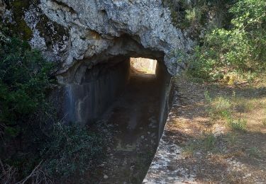
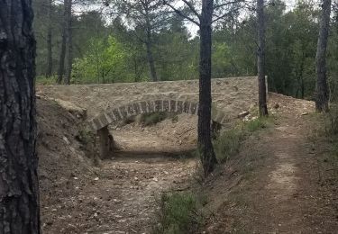
les sentiers et les larges chemins sont souvent ombragés par des pins surement centenaires
Mountainbike
Wandern
Wandern
Wandern
Wandern
Wandern
Wandern
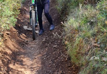
Mountainbike
Wandern