


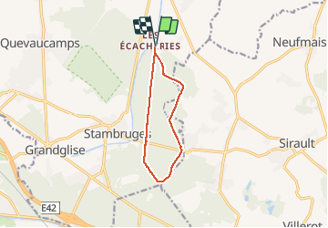

26 km | 29 km-effort

Benutzer


Kostenlosegpshiking-Anwendung
 SityTrail
IGN / Geografische Institute
SityTrail World
Die Welt öffnet sich für Sie
Tour Wandern von 8,5 km verfügbar auf Wallonien, Hennegau, Belœil. Diese Tour wird von rfnet vorgeschlagen.
Rando en parcours entièrement boisé. Départ des Ecacheries en passant par la Fontaine bouillonnante et entrée de la Mer de sable.
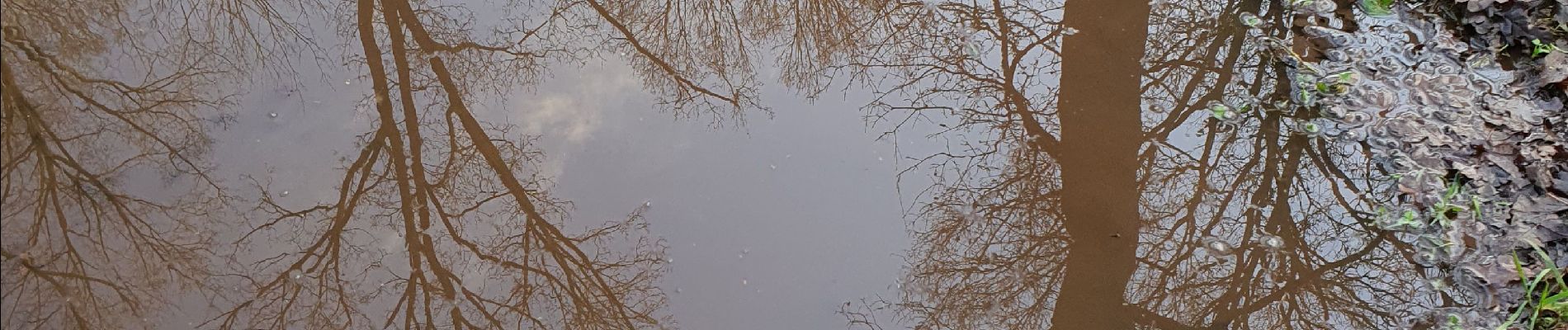
Parcours très gras et parfois glissant par temps très humide.


Wandern

Wandern

Wandern
Wandern

Nordic Walking

Pferd

Zu Fuß

Zu Fuß

Zu Fuß
Sentiers très boueux.bottes requises