


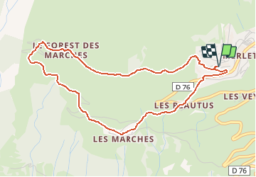

6,3 km | 9,9 km-effort

Benutzer


Kostenlosegpshiking-Anwendung
 SityTrail
IGN / Geografische Institute
SityTrail World
Die Welt öffnet sich für Sie
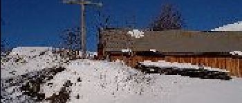
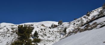
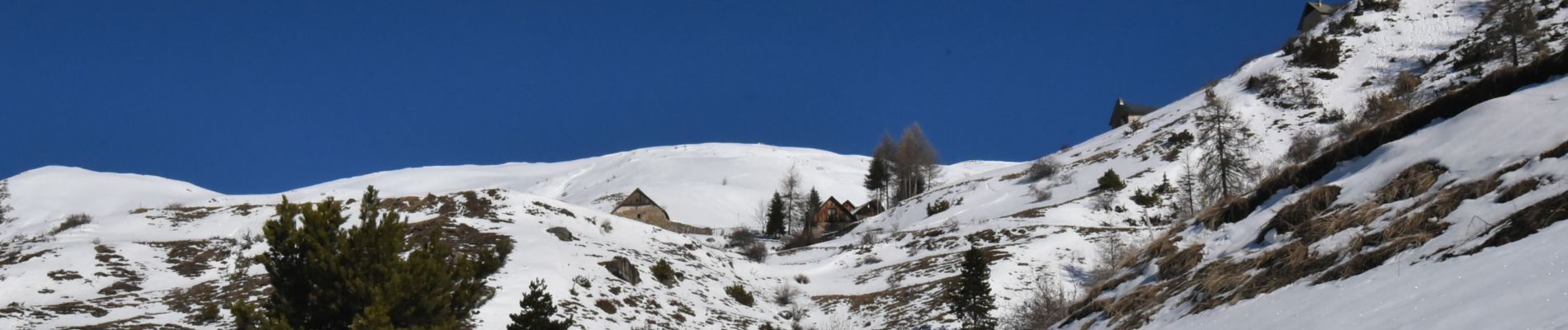
Tour Schneeschuhwandern von 5,1 km verfügbar auf Provence-Alpes-Côte d'Azur, Hochalpen, Orcières. Diese Tour wird von Marc Auger vorgeschlagen.
Boucle à éviter dans la partie de la montée au Forest des Marches - Trop direct - Préférer la montée par la route


Wandern

Wandern

Wandern

Wandern

Skiwanderen

Wandern

Wandern

Wandern

Wandern