![](/images/other/stat-length.png)
![Tour Wandern Maaseik - Rond Oudberg - Photo](https://media.geolcdn.com/t/1900/400/a912a49f-530d-4a9a-845c-ab72c5f0575c.jpg&format=pjpeg&maxdim=2)
Rond Oudberg
bometdehamer
Benutzer
![Länge](/images/other/stat-length.png)
Länge
13,4 km
![Maximale Höhe](https://static1.geolcdn.com/siteimages/upload/files/1508320355ic_sort_altitude_max_24dp.png)
Maximale Höhe
89 m
![Positive Höhendifferenz](https://static1.geolcdn.com/siteimages/upload/files/1508320355ic_sort_den_pos_24dp.png)
Positive Höhendifferenz
133 m
![Km-Effort](/images/other/stat-length.png)
Km-Effort
15,2 km
![Min. Höhe](https://static1.geolcdn.com/siteimages/upload/files/1508320355ic_sort_altitude_min_24dp.png)
Min. Höhe
59 m
![Negative Höhendifferenz](https://static1.geolcdn.com/siteimages/upload/files/1508320355ic_sort_den_neg_24dp.png)
Negative Höhendifferenz
134 m
![Boucle](https://static1.geolcdn.com/siteimages/upload/files/16400158638029165_repeat_loop_refresh_sync_direction_icon.png)
Boucle
Ja
Erstellungsdatum :
2020-01-30 09:44:32.0
Letzte Änderung :
2020-01-30 14:37:58.585
![Wandern](https://static1.geolcdn.com/sitytour/trail-icons/101.png)
4h14
Schwierigkeit : Einfach
![Scannen Sie diesen QR-Code, um die Tour in der SityTrail-Anwendung zu öffnen](https://capi.geolives.com/qq0zvz2zws4bq2lad0pu/sitytour/trails/2319543/qr.png?size=200)
Kostenlosegpshiking-Anwendung
Über SityTrail
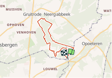
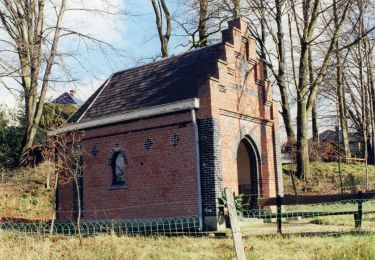
Tour Wandern von 13,4 km verfügbar auf Flandern, Limburg, Maaseik. Diese Tour wird von bometdehamer vorgeschlagen.
Beschreibung
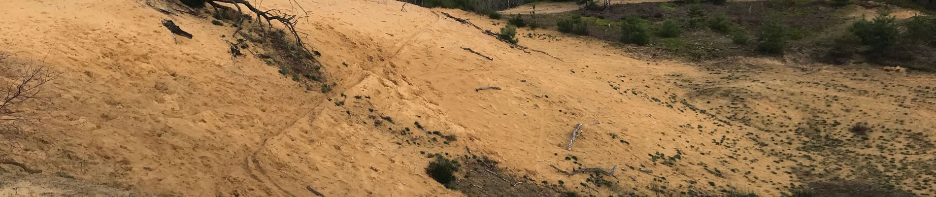
Vertrokken op camping Zavelbos, op en over de Oudsberg, tot in Gruitrode en terug. Traag gewandeld en genoten van kleine dingen, vooral veel zwammen op dood hout..
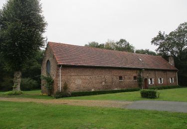
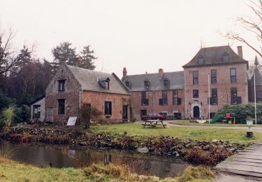
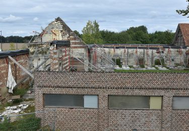
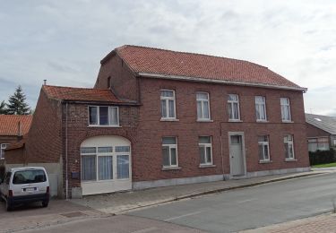
Ort
Land:
Belgium
Region :
Flandern
Abteilung/Provinz :
Limburg
Kommune :
Maaseik
Standort:
Opoeteren
Gehen Sie:(Dec)
Gehen Sie:(UTM)
684086 ; 5659617 (31U) N.
Kommentare
Touren in der Umgebung
![Tour Wandern Maaseik - 2021-11-06_16h45m30_930 - Photo](https://media.geolcdn.com/t/375/260/784b545d-0697-41ea-9878-b528d019e3de.jpg&format=jpg&maxdim=2)
![Wandern Wandern](https://static1.geolcdn.com/sitytour/trail-icons/101.png)
2021-11-06_16h45m30_930
Wandern
Einfach
(1)
Maaseik,
Flandern,
Limburg,
Belgium
![](/images/other/stat-length.png)
17,8 km | 20 km-effort
4h 38min
![](https://static1.geolcdn.com/siteimages/upload/files/16400158638029165_repeat_loop_refresh_sync_direction_icon.png)
Ja
![Tour Zu Fuß As - Heiderbos blauwe ruit - Photo](https://media.geolcdn.com/t/375/260/e65c145e-dca4-4d58-ae17-fc8ca78c84c8.jpeg&format=jpg&maxdim=2)
![Zu Fuß Zu Fuß](https://static1.geolcdn.com/sitytour/trail-icons/100.png)
Heiderbos blauwe ruit
Zu Fuß
Einfach
As,
Flandern,
Limburg,
Belgium
![](/images/other/stat-length.png)
7,7 km | 8,5 km-effort
1h 56min
![](https://static1.geolcdn.com/siteimages/upload/files/16400158638029165_repeat_loop_refresh_sync_direction_icon.png)
Ja
![Tour Zu Fuß Oudsbergen - Bosbeekvallei Rode vierkant - Photo](https://media.geolcdn.com/t/375/260/05b94e83-943e-4a8a-b6a2-23050984110f.jpeg&format=jpg&maxdim=2)
![Zu Fuß Zu Fuß](https://static1.geolcdn.com/sitytour/trail-icons/100.png)
Bosbeekvallei Rode vierkant
Zu Fuß
Einfach
Oudsbergen,
Flandern,
Limburg,
Belgium
![](/images/other/stat-length.png)
6,3 km | 6,8 km-effort
1h 32min
![](https://static1.geolcdn.com/siteimages/upload/files/16400158638029165_repeat_loop_refresh_sync_direction_icon.png)
Ja
![Tour Zu Fuß Maaseik - Oudsberg Blauwe ruit - Photo](https://media.geolcdn.com/t/375/260/bd436d3d-7786-4c28-877a-e4f4a8ff02e7.jpeg&format=jpg&maxdim=2)
![Zu Fuß Zu Fuß](https://static1.geolcdn.com/sitytour/trail-icons/100.png)
Oudsberg Blauwe ruit
Zu Fuß
Einfach
Maaseik,
Flandern,
Limburg,
Belgium
![](/images/other/stat-length.png)
7 km | 8 km-effort
1h 48min
![](https://static1.geolcdn.com/siteimages/upload/files/16400158638029165_repeat_loop_refresh_sync_direction_icon.png)
Ja
![Tour Zu Fuß Oudsbergen - Oudsberg Blauwe ruit - Photo](https://media.geolcdn.com/t/375/260/587c0d46-8fc2-4453-a2ba-63c77f582c07.jpeg&format=jpg&maxdim=2)
![Zu Fuß Zu Fuß](https://static1.geolcdn.com/sitytour/trail-icons/100.png)
Oudsberg Blauwe ruit
Zu Fuß
Einfach
Oudsbergen,
Flandern,
Limburg,
Belgium
![](/images/other/stat-length.png)
4 km | 4,5 km-effort
1h 0min
![](https://static1.geolcdn.com/siteimages/upload/files/16400158638029165_repeat_loop_refresh_sync_direction_icon.png)
Ja
![Tour Zu Fuß Maaseik - Oudsberg Groene rechthoek - Photo](https://media.geolcdn.com/t/375/260/87a0d596-d580-45a8-874d-5f76f3c7dee5.jpeg&format=jpg&maxdim=2)
![Zu Fuß Zu Fuß](https://static1.geolcdn.com/sitytour/trail-icons/100.png)
Oudsberg Groene rechthoek
Zu Fuß
Einfach
Maaseik,
Flandern,
Limburg,
Belgium
![](/images/other/stat-length.png)
3,1 km | 3,4 km-effort
45min
![](https://static1.geolcdn.com/siteimages/upload/files/16400158638029165_repeat_loop_refresh_sync_direction_icon.png)
Ja
![Tour Zu Fuß Maaseik - Oudsberg Oranje bol - Photo](https://media.geolcdn.com/t/375/260/bd436d3d-7786-4c28-877a-e4f4a8ff02e7.jpeg&format=jpg&maxdim=2)
![Zu Fuß Zu Fuß](https://static1.geolcdn.com/sitytour/trail-icons/100.png)
Oudsberg Oranje bol
Zu Fuß
Einfach
Maaseik,
Flandern,
Limburg,
Belgium
![](/images/other/stat-length.png)
11,7 km | 13,4 km-effort
3h 2min
![](https://static1.geolcdn.com/siteimages/upload/files/16400158638029165_repeat_loop_refresh_sync_direction_icon.png)
Ja
![Tour Zu Fuß Dilsen-Stokkem - Bergerven Gele zeshoek - Photo](https://media.geolcdn.com/t/375/260/050a923b-2af9-40e2-aacc-99779fc4e3d7.jpeg&format=jpg&maxdim=2)
![Zu Fuß Zu Fuß](https://static1.geolcdn.com/sitytour/trail-icons/100.png)
Bergerven Gele zeshoek
Zu Fuß
Einfach
Dilsen-Stokkem,
Flandern,
Limburg,
Belgium
![](/images/other/stat-length.png)
15,1 km | 17,5 km-effort
3h 58min
![](https://static1.geolcdn.com/siteimages/upload/files/16400158638029165_repeat_loop_refresh_sync_direction_icon.png)
Ja
![Tour Zu Fuß Maaseik - Bergerven Blauwe ruit - Photo](https://media.geolcdn.com/t/375/260/050a923b-2af9-40e2-aacc-99779fc4e3d7.jpeg&format=jpg&maxdim=2)
![Zu Fuß Zu Fuß](https://static1.geolcdn.com/sitytour/trail-icons/100.png)
Bergerven Blauwe ruit
Zu Fuß
Einfach
Maaseik,
Flandern,
Limburg,
Belgium
![](/images/other/stat-length.png)
7,4 km | 8,3 km-effort
1h 53min
![](https://static1.geolcdn.com/siteimages/upload/files/16400158638029165_repeat_loop_refresh_sync_direction_icon.png)
Ja