


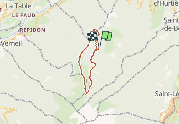

9 km | 20 km-effort


Benutzer


Kostenlosegpshiking-Anwendung
 SityTrail
IGN / Geografische Institute
SityTrail World
Die Welt öffnet sich für Sie
Tour Zu Fuß von 9,4 km verfügbar auf Auvergne-Rhone-Alpen, Savoyen, Saint-Alban-d'Hurtières. Diese Tour wird von michel.pegaz vorgeschlagen.
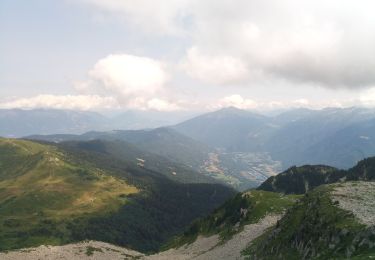
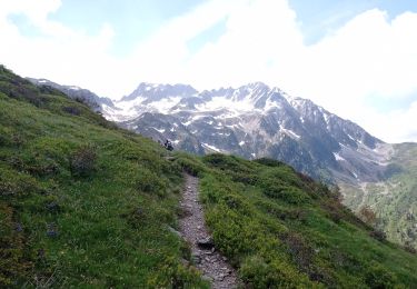
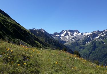
Départ parking de Teppe Verte prendre au nord la direction de Grand Leyat revenir vers le sud au col du Champet poursuivre dans la même direction par les crêtes des Mollards puis le col de L'Albarétan. Vous passer par le lac des Grenouilles pour rejoindre le chalet de l'Albarétant.
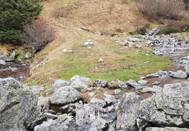
Retour par le sentier à l'est des trois Mollards ou par le sentier de Barbeloup

Wandern
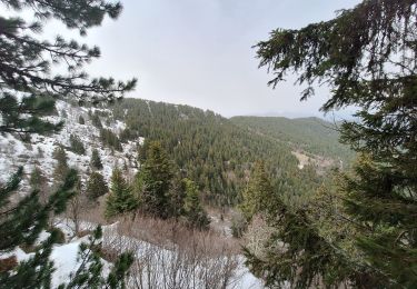
Wandern
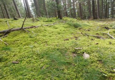
Wandern
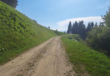
Wandern
Wandern
Wandern
Wandern
Wandern

Wandern