


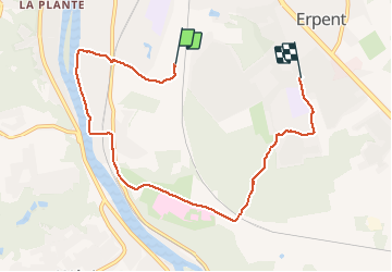

13,2 km | 18,4 km-effort


Benutzer


Kostenlosegpshiking-Anwendung
 SityTrail
IGN / Geografische Institute
SityTrail World
Die Welt öffnet sich für Sie
Tour Wandern von 6,9 km verfügbar auf Wallonien, Namur, Namen. Diese Tour wird von brindacier vorgeschlagen.
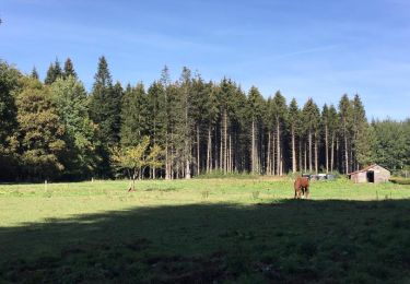
il gèle en.partant, nous décidons de faire 10km, du soleil et de la.pluie. de la boue et Zelie qui fait le schtroumpf :"C est quand qu' on arrive?"


Wandern

Wandern

Wandern
Wandern

Wandern

Wandern

Wandern
Wandern
Wandern