


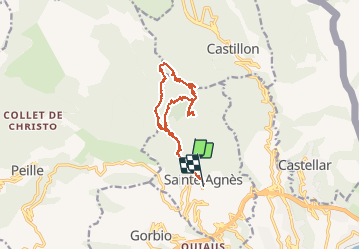

8,1 km | 14,4 km-effort

Benutzer


Kostenlosegpshiking-Anwendung
 SityTrail
IGN / Geografische Institute
SityTrail World
Die Welt öffnet sich für Sie
Tour Wandern von 14,4 km verfügbar auf Provence-Alpes-Côte d'Azur, Seealpen, Sainte-Agnès. Diese Tour wird von AntoineBM vorgeschlagen.
Sainte-Agnès, Pointe de Siricocca (1030m), Pic de Garuche (1066m) et Mont Ours (1221m).
Topo : https://www.visorando.com/randonnee-pointe-de-siricocca-pic-de-garuche-et-mo/
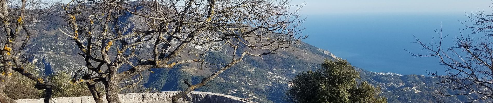
 - Photo 1")
 - Photo 2")
 - Photo 3")

Wandern

Wandern

Zu Fuß

Zu Fuß

Wandern
Wandern

Wandern

Wandern

Wandern