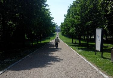
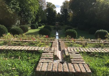
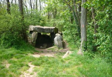
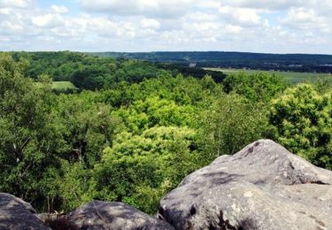
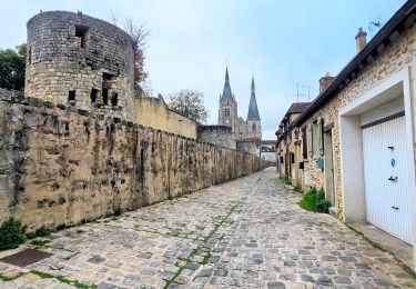
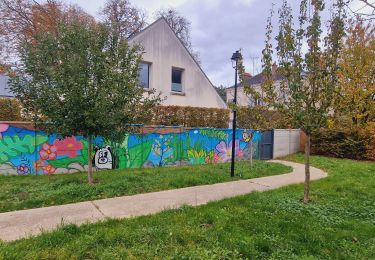
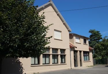
Tour Wandern Avrainville - avrainville annie 2 nov 2016 - Photo

avrainville annie 2 nov 2016

 Gerard Jourdy
Gerard Jourdy

Benutzer

© OpenStreetMap contributors
Länge
Länge
11,8 km
Maximale Höhe
Maximale Höhe
159 m
Positive Höhendifferenz
115 m
Km-Effort
Km-Effort  
13,3 km
Min. Höhe
Min. Höhe
82 m
Negative Höhendifferenz
114 m
Boucle
Boucle
Ja
Erstellungsdatum :
2020-01-11 13:53:23.689
Letzte Änderung :
2020-01-11 14:09:57.281

(0 Nachricht)

Wandern
Wandern
2h56
Schwierigkeit : Schwierig

Scannen Sie diesen QR-Code, um die Tour in der SityTrail-Anwendung zu öffnen

Kostenlosegpshiking-Anwendung

Logo SityTrail SityTrail

IGN / Geografische Institute

SityTrail aus dem App Store herunterladen SityTrail von Google Play herunterladen

Logo SityTrail SityTrail World

Die Welt öffnet sich für Sie

SityTrail aus dem App Store herunterladen SityTrail von Google Play herunterladen SityTrail auf Huawei AppGallery herunterladen

Über SityTrail

Tour Wandern von 11,8 km verfügbar auf Île-de-France, Essonne, Avrainville. Diese Tour wird von Gerard Jourdy vorgeschlagen.

Höhenprofil

POIs

POI Avrainville - Fin - Photo
Gerard Jourdy
AVRAINVILLE 
POI Avrainville - depart - Photo
Gerard Jourdy
AVRAINVILLE 
POI Avrainville - WP27 - Photo
Gerard Jourdy
AVRAINVILLE 
POI Avrainville - WP26 - Photo
Gerard Jourdy
AVRAINVILLE 
POI Avrainville - WP25 - Photo
Gerard Jourdy
AVRAINVILLE 
POI Avrainville - WP24 - Photo
Gerard Jourdy
AVRAINVILLE 
POI Avrainville - WP23 - Photo
Gerard Jourdy
AVRAINVILLE 
POI Avrainville - WP22 - Photo
Gerard Jourdy
AVRAINVILLE 
POI Avrainville - WP21 - Photo
Gerard Jourdy
AVRAINVILLE 
POI Avrainville - WP20 - Photo
Gerard Jourdy
AVRAINVILLE 
POI Avrainville - WP19 - Photo
Gerard Jourdy
AVRAINVILLE 
POI Boissy-sous-Saint-Yon - WP18 - Photo
Gerard Jourdy
BOISSY-SOUS-SAINT-YON 
POI Boissy-sous-Saint-Yon - WP17 - Photo
Gerard Jourdy
BOISSY-SOUS-SAINT-YON 
POI Boissy-sous-Saint-Yon - WP16 - Photo
Gerard Jourdy
BOISSY-SOUS-SAINT-YON 
POI Boissy-sous-Saint-Yon - WP15 - Photo
Gerard Jourdy
BOISSY-SOUS-SAINT-YON 
POI Torfou - WP14 - Photo
Gerard Jourdy
TORFOU 
POI Torfou - WP13 - Photo
Gerard Jourdy
TORFOU 
POI Torfou - WP12 - Photo
Gerard Jourdy
TORFOU 
POI Torfou - WP11 - Photo
Gerard Jourdy
TORFOU 
POI Torfou - WP10 - Photo
Gerard Jourdy
TORFOU 
POI Torfou - WP9 - Photo
Gerard Jourdy
TORFOU 
POI Torfou - WP8 - Photo
Gerard Jourdy
TORFOU 
POI Avrainville - WP7 - Photo
Gerard Jourdy
AVRAINVILLE 
POI Cheptainville - WP6 - Photo
Gerard Jourdy
CHEPTAINVILLE 
POI Cheptainville - WP5 - Photo
Gerard Jourdy
CHEPTAINVILLE 
POI Avrainville - WP4 - Photo
Gerard Jourdy
AVRAINVILLE 
POI Avrainville - WP3 - Photo
Gerard Jourdy
AVRAINVILLE 
POI Avrainville - WP2 - Photo
Gerard Jourdy
AVRAINVILLE 
POI Avrainville - WP1 - Photo
Gerard Jourdy
AVRAINVILLE 

Ort

Land:
France
Region :
Île-de-France
Abteilung/Provinz :
Essonne
Kommune :
Avrainville
Standort:
Unknown
Gehen Sie:(UTM)
444409 ; 5379102 (31U) N.

Touren in der Umgebung

Tour Wandern Lardy - Lardy - Chamarande -F - Photo
Wandern
nicolas93

Wandern

Medium
(2)
Lardy, Île-de-France, Essonne, France
18,3 km | 22 km-effort
4h 44min
Ja
Tour Wandern Marolles-en-Hurepoix - Marolles Lardy Bouray St Vrain - Photo
Wandern
philippebenne

Wandern

Medium
(1)
Marolles-en-Hurepoix, Île-de-France, Essonne, France
19,3 km | 23 km-effort
5h 10min
Ja
Tour Wandern Lardy - Autour de Lardy par la Pierre levée de Janville sur Juine - Photo
Wandern
tracegps

Wandern

Schwierig
(1)
Lardy, Île-de-France, Essonne, France
24 km | 29 km-effort
4h 49min
Ja
Tour Mountainbike Lardy - Autour de Lardy en VTT - Photo
Mountainbike
tracegps

Mountainbike

Medium
(1)
Lardy, Île-de-France, Essonne, France
31 km | 38 km-effort
2h 4min
Ja
Tour Wandern Arpajon - Linéaire Arpajon-Dourdan  - Photo
Wandern
GUIDE
chessyca

Wandern

Schwierig
Arpajon, Île-de-France, Essonne, France
30 km | 35 km-effort
6h 13min
Nein
Tour Zu Fuß Lardy - Boucle Lardy par Pascale - Photo
Zu Fuß
GUIDE
chessyca

Zu Fuß

Einfach
Lardy, Île-de-France, Essonne, France
20 km | 25 km-effort
5h 36min
Ja
Tour Zu Fuß Saint-Yon - Sur les traces de la Renarde - Photo
Zu Fuß
GUIDE+

Zu Fuß

Sehr schwierig
Saint-Yon, Île-de-France, Essonne, France
38 km | 44 km-effort
10h 4min
Nein
Tour Wandern Boissy-sous-Saint-Yon - Carrière de Madagascar  - Photo
Wandern
danbott

Wandern

Sehr leicht
(1)
Boissy-sous-Saint-Yon, Île-de-France, Essonne, France
13,2 km | 16,5 km-effort
2h 59min
Ja
Tour Wandern Arpajon - Montlhéry 2 - Photo
Wandern
jpcccb

Wandern

Schwierig
(1)
Arpajon, Île-de-France, Essonne, France
14,2 km | 16,5 km-effort
3h 45min
Nein


Schließen
Meine Abonnements