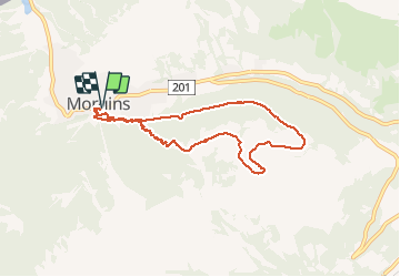

5,7 km | 10,6 km-effort


Benutzer


Kostenlosegpshiking-Anwendung
 SityTrail
IGN / Geografische Institute
SityTrail World
Die Welt öffnet sich für Sie
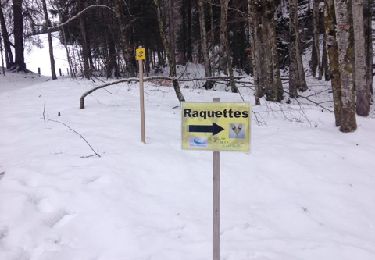
Tour Schneeschuhwandern von 7,7 km verfügbar auf Wallis, Monthey, Troistorrents. Diese Tour wird von mlienhart vorgeschlagen.
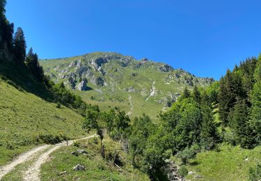
Monter par la forêt et redescendre par la route (plus long mais pente douce). La montée est raide et peut être délicate à la descente si gelé.
Très belle vue sur les Dents du Midi.

Schneeschuhwandern

Schneeschuhwandern

Wandern
Wandern

Schneeschuhwandern

Wandern
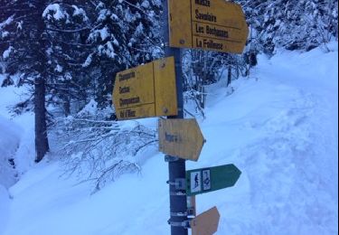
Schneeschuhwandern
Schneeschuhwandern