


5,7 km | 7,9 km-effort

Benutzer


Kostenlosegpshiking-Anwendung
 SityTrail
IGN / Geografische Institute
SityTrail World
Die Welt öffnet sich für Sie
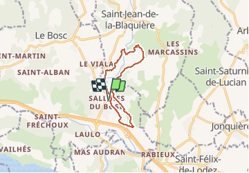
Tour Wandern von 10,7 km verfügbar auf Okzitanien, Hérault, Le Bosc. Diese Tour wird von mdauzat vorgeschlagen.
Cette boucle, d'abord sur petite route, traverse une première fois, sur un pont submersible, le ruisseau de Sainte-Marguerite, puis le longe pour monter vers Mougères, à travers les vignes, toujours sur une large piste. Après une nouvelle traversée du ruisseau - à gué - on monte vers la crête qui offre de très larges vues sur toute la région, notamment Saint-Jean de la Blaquière, Laulo, Le Mas Audran... Le mont Gibret surmonté de sa croix (à 8,5 km, un petit chemin sur la gauche permet d'en faire l'ascension) est visible sur une grande partie du trajet... La piste redescend ensuite sur la rive gauche, traversant de belles ruffes d'un rouge profond pour contourner "Les Combes" et revenir, après un dernier pont submersible au pied du viaduc de l'ancienne voie ferrée, puis à travers les vignes de l'Auniac, au village de Salelles. Sur tout le trajet, les fleurs abondent (c'est la période de floraison des asphodèles). Les abeilles sont à la fête (une série de ruche les héberge au fond d'une prairie. Plusieurs belles oliveraies, un relief surprenant, profondément creusé par le ruisseau, la terre rouge contrastant avec le vert tendre des jeunes pousses, un ciel bleu impeccable... Que demander de plus ?


64 Fotos insgesamt. Klicken Sie auf ein Foto, um sie alle in der Galerie zu sehen.

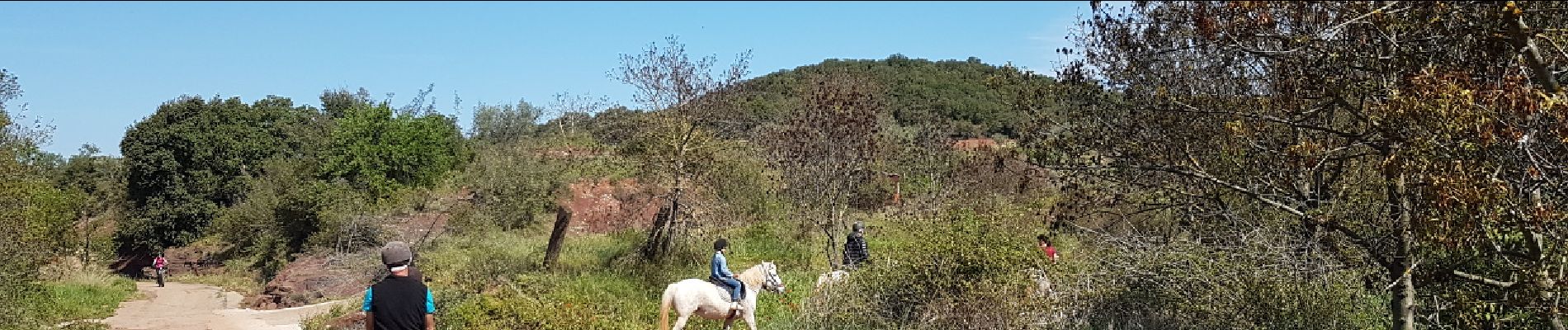
Wandern

Nordic Walking

Wandern

Wandern

Wandern

Wandern
Wandern

Wandern
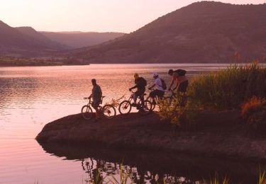
Mountainbike