


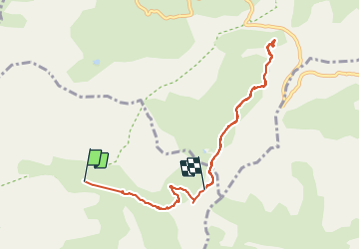


16,3 km | 27 km-effort

Benutzer


Kostenlosegpshiking-Anwendung
 SityTrail
IGN / Geografische Institute
SityTrail World
Die Welt öffnet sich für Sie
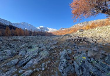
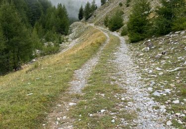
Tour Wandern von 8,9 km verfügbar auf Provence-Alpes-Côte d'Azur, Alpes-de-Haute-Provence, Uvernet-Fours. Diese Tour wird von BLANCHET vorgeschlagen.
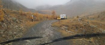
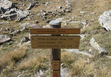
Départ au chalet de la Moutière, repas sous un blockhaus de la ligne Maginot.
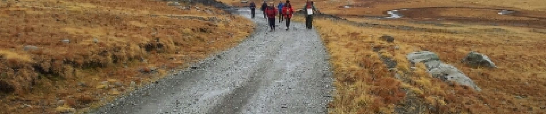
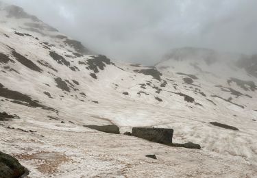
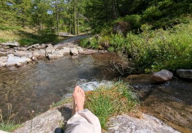
Rando sous la pluie.


Wandern

Wandern

Wandern

Wandern
Zu Fuß
Wandern
Wandern
Wandern
Wandern