


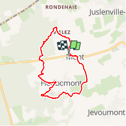

12,7 km | 16,8 km-effort

Benutzer


Kostenlosegpshiking-Anwendung
 SityTrail
IGN / Geografische Institute
SityTrail World
Die Welt öffnet sich für Sie
Tour Wandern von 7 km verfügbar auf Wallonien, Lüttich, Theux. Diese Tour wird von pqa621@gmail.com vorgeschlagen.
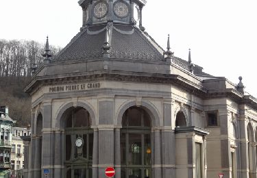
Départ au pied de la côté de Mont Theux pour une découverte de paysages découpes par la vallee de la Hoegne...avec une arrivée à la Pâtisserie Darcis!


Wandern

Wandern

Wandern

Wandern

Wandern

Wandern

Wandern
Wandern

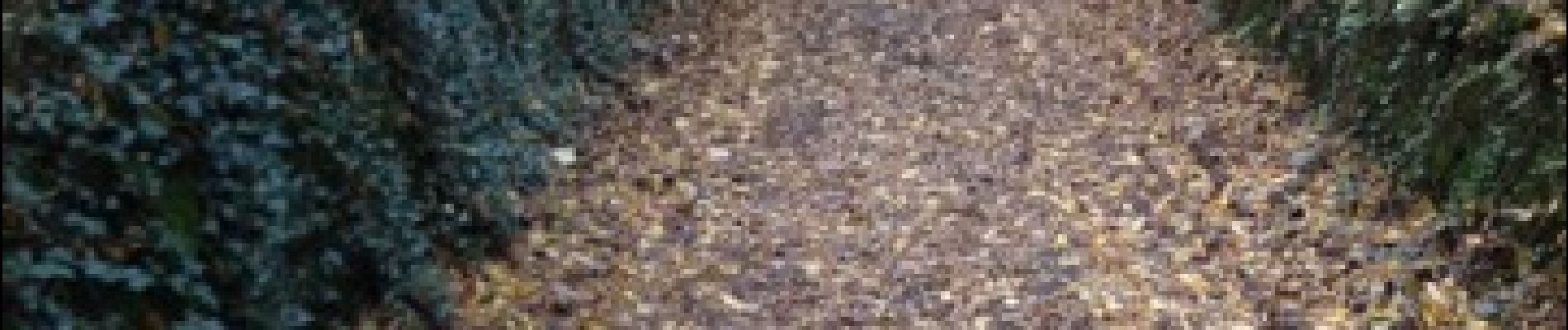
Pfad
Belle balade et beau paysages
Randonnée très agréable. Beaux paysages…