


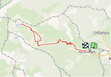

10,5 km | 18,1 km-effort

Benutzer


Kostenlosegpshiking-Anwendung
 SityTrail
IGN / Geografische Institute
SityTrail World
Die Welt öffnet sich für Sie
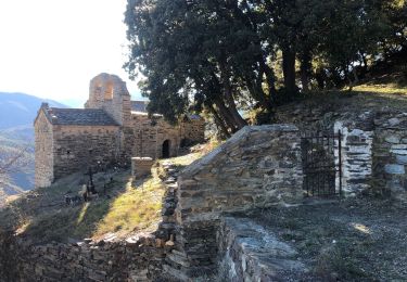
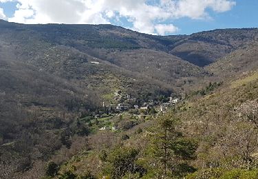
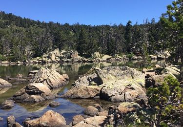
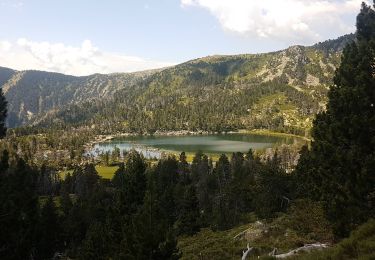
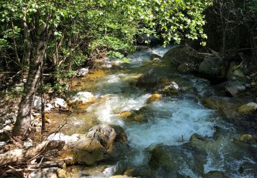
Tour Zu Fuß von 22 km verfügbar auf Okzitanien, Ostpyrenäen, Nohèdes. Diese Tour wird von llech vorgeschlagen.
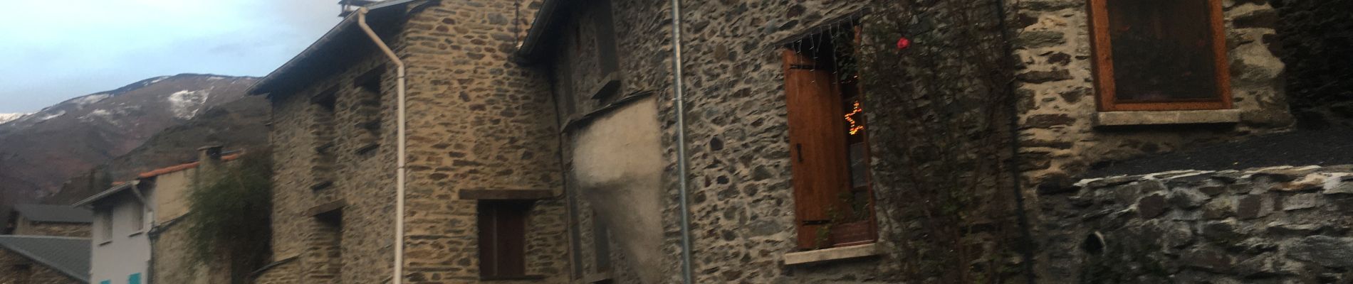
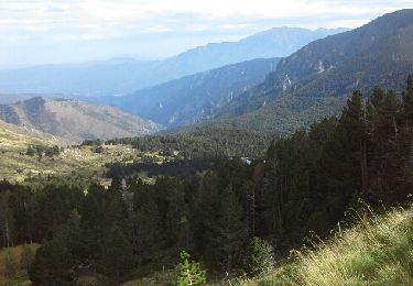
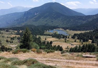
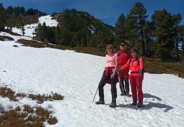
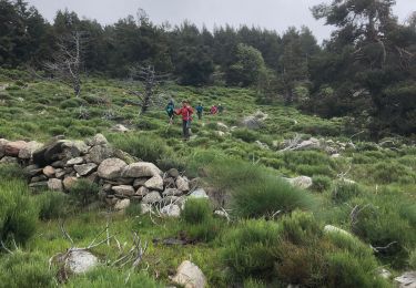
26 Décembre 2019, doux pour la saison malgré un vent du nord . Ambiance "hivernale", bois de chauffe, lacs partiellement gelés, congères de neige. Traversée de forêt avec chevreuils surpris par ma présence !


Wandern
Wandern
Wandern
Wandern
Wandern
Wandern
Wandern
Wandern
Wandern