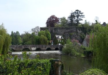
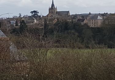
30 km | 36 km-effort
Roche Brune
neitag61
Benutzer
Länge
12,7 km
Maximale Höhe
232 m
Positive Höhendifferenz
250 m
Km-Effort
16,1 km
Min. Höhe
115 m
Negative Höhendifferenz
251 m
Boucle
Ja
Erstellungsdatum :
2019-12-29 10:55:52.194
Letzte Änderung :
2019-12-29 10:56:36.672
4h00
Schwierigkeit : Medium
Kostenlosegpshiking-Anwendung
Über SityTrail
Tour Wandern von 12,7 km verfügbar auf Pays de la Loire, Sarthe, Montreuil-le-Chétif. Diese Tour wird von neitag61 vorgeschlagen.
Ort
Land:
France
Region :
Pays de la Loire
Abteilung/Provinz :
Sarthe
Kommune :
Montreuil-le-Chétif
Standort:
Unknown
Gehen Sie:(Dec)
Gehen Sie:(UTM)
720047 ; 5347867 (30U) N.
Kommentare
Touren in der Umgebung
3 = Fresnay sur Sarthe - St Léonard des bois
Wandern
Einfach
Fresnay-sur-Sarthe,
Pays de la Loire,
Sarthe,
France
5h 5min
Nein
Fresnay sur Sarthe
Wandern
Schwierig
Fresnay-sur-Sarthe,
Pays de la Loire,
Sarthe,
France
23 km | 27 km-effort
4h 29min
Ja
Espace VTT FFC des Alpes Mancelles- Circuit n° 10 - Vaux
Mountainbike
Medium
Fresnay-sur-Sarthe,
Pays de la Loire,
Sarthe,
France
29 km | 34 km-effort
2h 30min
Ja
segrie vernie
Rennrad
Sehr leicht
Ségrie,
Pays de la Loire,
Sarthe,
France
22 km | 26 km-effort
1h 39min
Ja
FR Fresnay sur Sarthe 7.4 km RS 12-03-2021
Nordic Walking
Sehr leicht
Fresnay-sur-Sarthe,
Pays de la Loire,
Sarthe,
France
7,6 km | 9 km-effort
1h 59min
Ja
FR Le randonneur. MR 27-02-2021
Nordic Walking
Sehr leicht
Montreuil-le-Chétif,
Pays de la Loire,
Sarthe,
France
7,2 km | 8,6 km-effort
1h 40min
Ja
au détour d'une petite cité de caractère
Zu Fuß
Medium
Fresnay-sur-Sarthe,
Pays de la Loire,
Sarthe,
France
19,3 km | 22 km-effort
5h 0min
Ja
2018_12_Val de Pierre
Wandern
Sehr leicht
Ségrie,
Pays de la Loire,
Sarthe,
France
4 km | 4,7 km-effort
1h 39min
Ja
sillé 1
Wandern
Einfach
Mont-Saint-Jean,
Pays de la Loire,
Sarthe,
France
4,4 km | 5,7 km-effort
1h 24min
Ja