


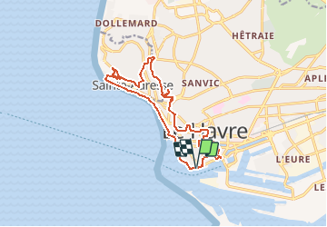

14,2 km | 17 km-effort


Benutzer


Kostenlosegpshiking-Anwendung
 SityTrail
IGN / Geografische Institute
SityTrail World
Die Welt öffnet sich für Sie
Tour Zu Fuß von 14,2 km verfügbar auf Normandie, Seine-Maritime, Le Havre. Diese Tour wird von MOIBRIGGE vorgeschlagen.
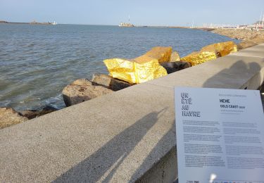
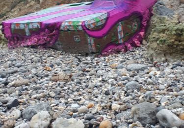
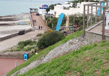
Découverte de la ville du Havre, son port, sa plage et son "nice havrais". Départ du parking du quai des Abeilles, Chaussée John Kennedy.
Wandern
Zu Fuß

Wandern

Zu Fuß
Wandern
Wandern
Nordic Walking
Wandern
Wandern