


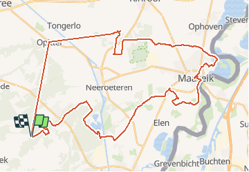

17,8 km | 20 km-effort

Benutzer


Kostenlosegpshiking-Anwendung
 SityTrail
IGN / Geografische Institute
SityTrail World
Die Welt öffnet sich für Sie
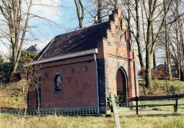
Tour Elektrofahrrad von 50 km verfügbar auf Flandern, Limburg, Maaseik. Diese Tour wird von bometdehamer vorgeschlagen.
Mooie tocht langs fietsknooppunten 37, 43, 45, 26, 24, 25, 27, 28, 13, 12, 11, 36, 570, 35, 37. Voor elk wat wils: bossen, duinen, waterplassen, open veld, de Maasvallei, nog meer bossen. En heel veel paarden....


Wandern
Zu Fuß
Zu Fuß
Zu Fuß
Zu Fuß
Zu Fuß
Zu Fuß
Zu Fuß
Zu Fuß