


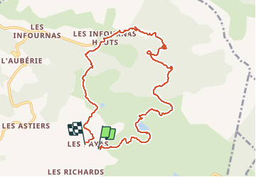

10,1 km | 16 km-effort


Benutzer


Kostenlosegpshiking-Anwendung
 SityTrail
IGN / Geografische Institute
SityTrail World
Die Welt öffnet sich für Sie
Tour Schneeschuhwandern von 10,8 km verfügbar auf Provence-Alpes-Côte d'Azur, Hochalpen, Saint-Bonnet-en-Champsaur. Diese Tour wird von joesic vorgeschlagen.
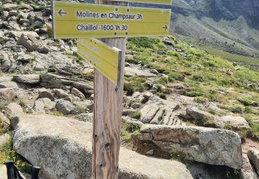
Départ aux Payas, sinon départ aux Infournas haut pour faire que la maison forestière de Soubeyranne.

Wandern

Wandern

Wandern

Wandern

Wandern
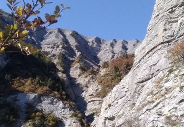
Wandern
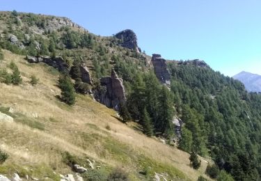
Wandern
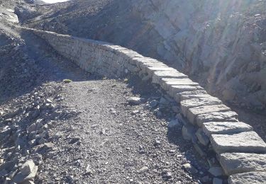
Wandern
Wandern