


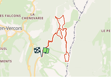

9,1 km | 13,8 km-effort

Benutzer


Kostenlosegpshiking-Anwendung
 SityTrail
IGN / Geografische Institute
SityTrail World
Die Welt öffnet sich für Sie
Tour Schneeschuhwandern von 10,3 km verfügbar auf Auvergne-Rhone-Alpen, Isère, Lans-en-Vercors. Diese Tour wird von patjobou vorgeschlagen.
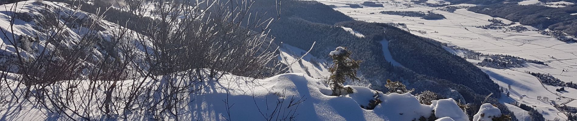
Une belle boucle dans une neige presque vierge avec un retour par la Croix des Ramées pour profiter d'une belle journée ensoleillée.


Nordic Walking

Wandern

Schneeschuhwandern

Wandern

Wandern

Wandern

Schneeschuhwandern

Wandern

Wandern