9,7 km | 13 km-effort
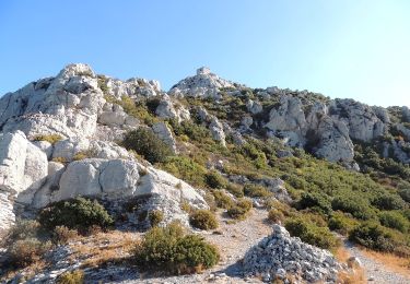
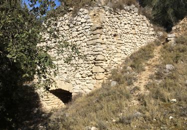
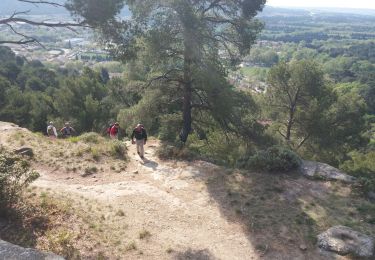
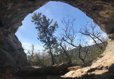
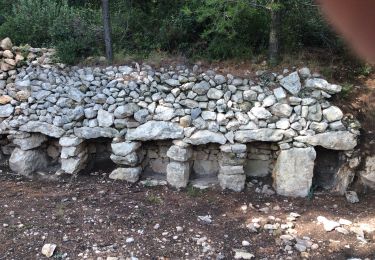
Eyguières 13 - Tour de Roquemartine
Manoune
Benutzer
Länge
14 km
Maximale Höhe
212 m
Positive Höhendifferenz
238 m
Km-Effort
17,2 km
Min. Höhe
110 m
Negative Höhendifferenz
238 m
Boucle
Ja
Erstellungsdatum :
2019-12-07 09:32:07.915
Letzte Änderung :
2019-12-07 10:00:00.727
--
Schwierigkeit : Medium
Kostenlosegpshiking-Anwendung
Über SityTrail
Tour Zu Fuß von 14 km verfügbar auf Provence-Alpes-Côte d'Azur, Bouches-du-Rhône, Eyguières. Diese Tour wird von Manoune vorgeschlagen.
Ort
Land:
France
Region :
Provence-Alpes-Côte d'Azur
Abteilung/Provinz :
Bouches-du-Rhône
Kommune :
Eyguières
Standort:
Unknown
Gehen Sie:(Dec)
Gehen Sie:(UTM)
664488 ; 4841260 (31T) N.
Kommentare
Touren in der Umgebung
lamanon grottes calas
Wandern
Sehr leicht
(1)
Lamanon,
Provence-Alpes-Côte d'Azur,
Bouches-du-Rhône,
France
2h 38min
Nein
La Tour des Opies
Wandern
Schwierig
Eyguières,
Provence-Alpes-Côte d'Azur,
Bouches-du-Rhône,
France
11,6 km | 16,9 km-effort
3h 33min
Ja
PF-Sénas - Collines de Pécoule et de la Cabre
Wandern
Sehr leicht
(2)
Sénas,
Provence-Alpes-Côte d'Azur,
Bouches-du-Rhône,
France
8,4 km | 9,4 km-effort
2h 5min
Ja
Lamanon Cales Facile
Wandern
Einfach
(1)
Lamanon,
Provence-Alpes-Côte d'Azur,
Bouches-du-Rhône,
France
6,2 km | 8,9 km-effort
1h 30min
Ja
GB La cabre et la pecoule
Wandern
Medium
(1)
Sénas,
Provence-Alpes-Côte d'Azur,
Bouches-du-Rhône,
France
6,9 km | 8,2 km-effort
2h 16min
Ja
Tour des Opies par les Barres Rouges
Wandern
Medium
Eyguières,
Provence-Alpes-Côte d'Azur,
Bouches-du-Rhône,
France
8,8 km | 14,1 km-effort
2h 52min
Ja
lamanon
Wandern
Medium
Lamanon,
Provence-Alpes-Côte d'Azur,
Bouches-du-Rhône,
France
14,3 km | 19,4 km-effort
6h 18min
Ja
Le Mont Menu
Zu Fuß
Einfach
Eyguières,
Provence-Alpes-Côte d'Azur,
Bouches-du-Rhône,
France
6,1 km | 8,1 km-effort
2h 0min
Ja
PF-Lamanon - Le Mur aux Abeilles
Wandern
Medium
Lamanon,
Provence-Alpes-Côte d'Azur,
Bouches-du-Rhône,
France
6,5 km | 9,1 km-effort
2h 23min
Ja