


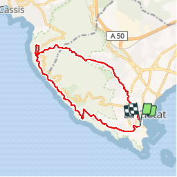


12,1 km | 19,9 km-effort

Benutzer


Kostenlosegpshiking-Anwendung
 SityTrail
IGN / Geografische Institute
SityTrail World
Die Welt öffnet sich für Sie
Tour Wandern von 15,1 km verfügbar auf Provence-Alpes-Côte d'Azur, Bouches-du-Rhône, La Ciotat. Diese Tour wird von francis1952 vorgeschlagen.
1ère partie difficile, et cool le retour.
Super rando.


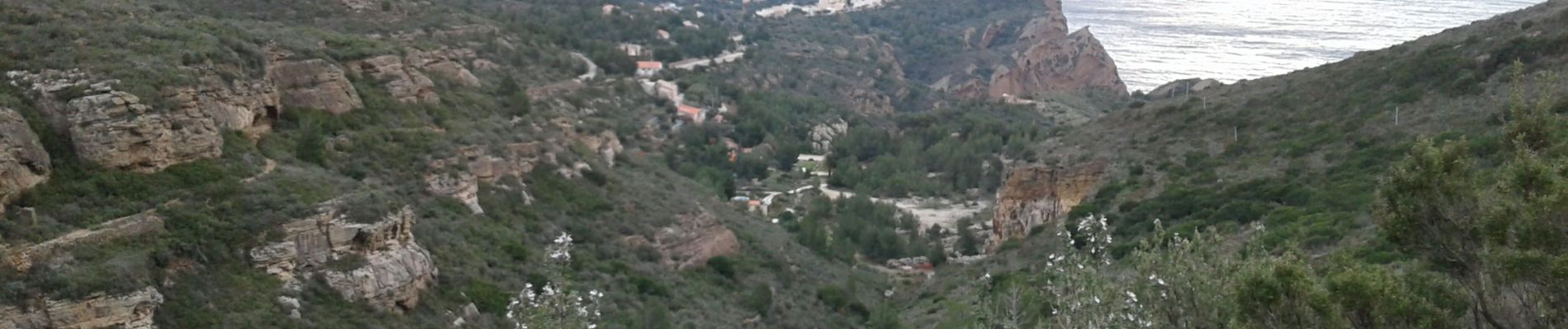
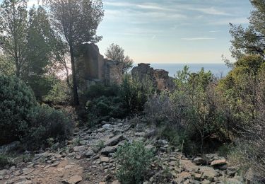
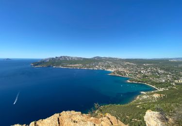
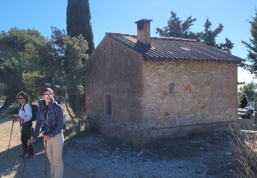
36 Fotos insgesamt. Klicken Sie auf ein Foto, um sie alle in der Galerie zu sehen.

Wandern

Wandern

Wandern
Wandern

Wandern

Wandern
Wandern
Wandern
Wandern