


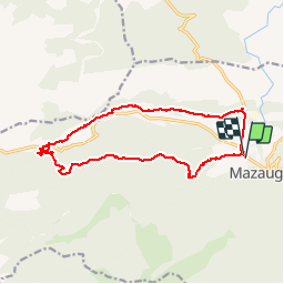

11,1 km | 17,8 km-effort


Benutzer


Kostenlosegpshiking-Anwendung
 SityTrail
IGN / Geografische Institute
SityTrail World
Die Welt öffnet sich für Sie
Tour Wandern von 15,8 km verfügbar auf Provence-Alpes-Côte d'Azur, Var, Mazaugues. Diese Tour wird von pourrier vorgeschlagen.
Parcours facile à travers la forêt en grande partie.
La Glacière du Gaudin est magnifique.
Belle ballade automnale avec les feuillus colorés.
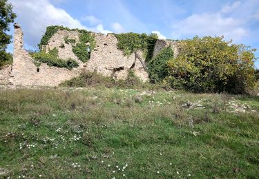
 - Photo 1")
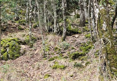
 - Photo 2")

Wandern

Wandern

Wandern

Wandern

Wandern

Wandern

Wandern
Zu Fuß
Wandern