Tour 4x4 Le Petit-Celland - rando 24 nov 2019 - Photo
 alex12r
alex12r

Benutzer

© OpenStreetMap contributors
Länge
Länge
55 km
Maximale Höhe
Maximale Höhe
239 m
Positive Höhendifferenz
1104 m
Km-Effort
Km-Effort  
69 km
Min. Höhe
Min. Höhe
26 m
Negative Höhendifferenz
1082 m
Boucle
Boucle
Nein
Erstellungsdatum :
2019-11-24 09:18:10.821
Letzte Änderung :
2019-11-24 22:15:53.365

(0 Nachricht)

4x4
4x4
3h30
Schwierigkeit : Sehr leicht

Scannen Sie diesen QR-Code, um die Tour in der SityTrail-Anwendung zu öffnen

Kostenlosegpshiking-Anwendung

Logo SityTrail SityTrail

IGN / Geografische Institute

SityTrail aus dem App Store herunterladen SityTrail von Google Play herunterladen

Logo SityTrail SityTrail World

Die Welt öffnet sich für Sie

SityTrail aus dem App Store herunterladen SityTrail von Google Play herunterladen SityTrail auf Huawei AppGallery herunterladen

Über SityTrail

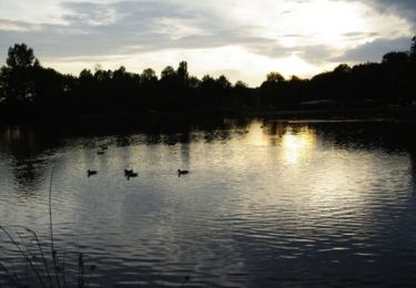
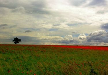
Tour 4x4 von 55 km verfügbar auf Normandie, Manche, Le Petit-Celland. Diese Tour wird von alex12r vorgeschlagen.

Höhenprofil

Ort

Land:
France
Region :
Normandie
Abteilung/Provinz :
Manche
Kommune :
Le Petit-Celland
Standort:
Unknown
Gehen Sie:(UTM)
630511 ; 5394858 (30U) N.

Touren in der Umgebung

Tour Mountainbike Le Petit-Celland - Espace VTT FFC de la Vallée de la Sée - circuit n°17 - Tour de la Vallée de la Sée - Photo
Mountainbike
tracegps

Mountainbike

Sehr schwierig
(1)
Le Petit-Celland, Normandie, Manche, France
160 km | 202 km-effort
16h 0min
Ja
Tour Mountainbike Brécey - Espace VTT FFC de la Vallée de la Sée - circuit n°4 - Balade de la Sémondière - Photo
Mountainbike
tracegps

Mountainbike

Einfach
Brécey, Normandie, Manche, France
6,4 km | 7,6 km-effort
1h 0min
Ja
Tour Mountainbike Brécey - Espace VTT FFC de la Vallée de la Sée - circuit n°3 - Entre Prés et Vergers - Photo
Mountainbike
tracegps

Mountainbike

Medium
Brécey, Normandie, Manche, France
14,8 km | 17,8 km-effort
2h 0min
Ja
Tour Mountainbike Brécey - Espace VTT FFC de la Vallée de la Sée - circuit n°2 - Panoramas sur le Val de Sée - Photo
Mountainbike
tracegps

Mountainbike

Schwierig
Brécey, Normandie, Manche, France
14,3 km | 17,9 km-effort
2h 0min
Ja
Tour Mountainbike Brécey - Espace VTT FFC de la Vallée de la Sée - circuit n°1 - Des Romains aux Chouans - Photo
Mountainbike
tracegps

Mountainbike

Sehr schwierig
Brécey, Normandie, Manche, France
61 km | 77 km-effort
5h 0min
Ja
Tour Laufen Le Mesnil-Ozenne - Le Mesnil Ozenne - Photo
Laufen
tracegps

Laufen

Schwierig
Le Mesnil-Ozenne, Normandie, Manche, France
4 km | 5,3 km-effort
19min
Ja
Tour Mountainbike Le Mesnil-Ozenne - Le Mesnil Ozenne - Photo
Mountainbike
tracegps

Mountainbike

Einfach
Le Mesnil-Ozenne, Normandie, Manche, France
4 km | 5,3 km-effort
15min
Ja
Tour Wandern Le Mesnil-Ozenne - Le Mesnil Ozenne - Photo
Wandern
tracegps

Wandern

Medium
Le Mesnil-Ozenne, Normandie, Manche, France
4 km | 5,3 km-effort
45min
Ja
Tour Reiten Brécey - Rando brecey 2 édition  - Photo
Reiten
phillipine

Reiten

Medium
Brécey, Normandie, Manche, France
23 km | 28 km-effort
48min
Ja


Schließen
Meine Abonnements