


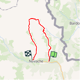

15,5 km | 28 km-effort

La Clarée un must pour randonner alors à nous d'en profiter ....


Kostenlosegpshiking-Anwendung
 SityTrail
IGN / Geografische Institute
SityTrail World
Die Welt öffnet sich für Sie
Tour Wandern von 21 km verfügbar auf Provence-Alpes-Côte d'Azur, Hochalpen, Névache. Diese Tour wird von Névache Aout 2020 REV 83 vorgeschlagen.
Roubion Col des Thures Vallée Etroite (Italie) Maison des Chamois Col du Vallon Névache
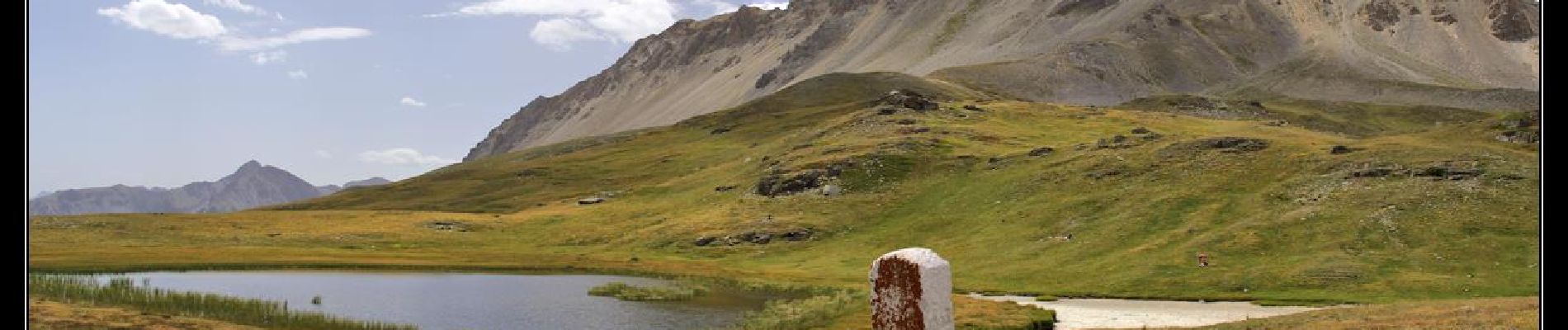
 Col des Thures Vallée Etroite Col du Vallon - Photo 1")

Wandern

Wandern

Wandern

Wandern

Wandern

Wandern

Wandern
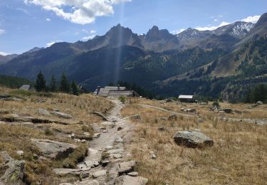
Wandern
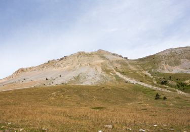
Wandern