


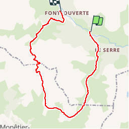

10 km | 18 km-effort

La Clarée un must pour randonner alors à nous d'en profiter ....


Kostenlosegpshiking-Anwendung
 SityTrail
IGN / Geografische Institute
SityTrail World
Die Welt öffnet sich für Sie
Tour Wandern von 15,4 km verfügbar auf Provence-Alpes-Côte d'Azur, Hochalpen, Névache. Diese Tour wird von Névache Aout 2020 REV 83 vorgeschlagen.
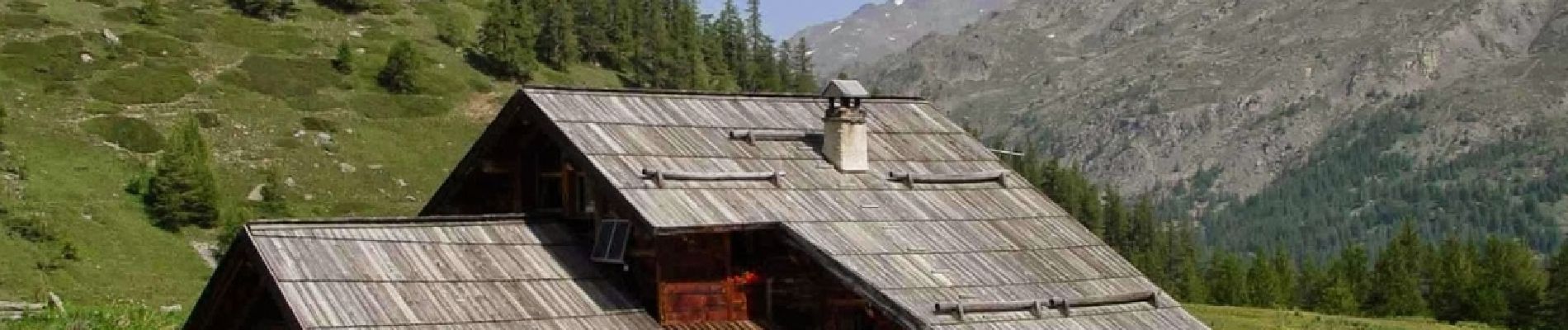
Pont de Souchère Refuge de Buffère Col de Buffère Combe la la Moulette Col Roche Noire Refuge Chardonnet


Wandern

Wandern

Wandern

Wandern

Wandern

Wandern

Wandern

Wandern

Wandern