


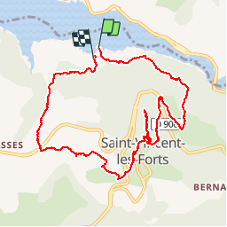

15,6 km | 23 km-effort

Benutzer


Kostenlosegpshiking-Anwendung
 SityTrail
IGN / Geografische Institute
SityTrail World
Die Welt öffnet sich für Sie
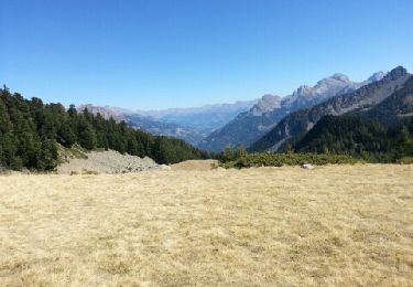
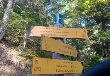
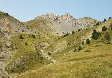
Tour Wandern von 11,4 km verfügbar auf Provence-Alpes-Côte d'Azur, Alpes-de-Haute-Provence, Ubaye-Serre-Ponçon. Diese Tour wird von PapouBertrand vorgeschlagen.
Randonnée Marche de 11 km et 550 mètres de dénivelé à découvrir à SAINT-VINCENT-LES-FORTS, ALPES-DE-HAUTE-PROVENCE


Wandern

Wandern
Wandern
Wandern

Wandern
Wandern

Wandern
Wandern

Wandern