


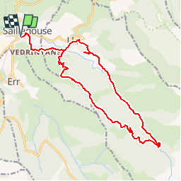

11,8 km | 18,2 km-effort


Benutzer


Kostenlosegpshiking-Anwendung
 SityTrail
IGN / Geografische Institute
SityTrail World
Die Welt öffnet sich für Sie
Tour Zu Fuß von 20 km verfügbar auf Okzitanien, Ostpyrenäen, Saillagouse. Diese Tour wird von rene091957 vorgeschlagen.
Saillagouse > Vedrignans > Llo > Pla de la Creu > Refuge de La Culasse (Villa Simon)
Retour Forestière de Llo > Mas Paturas > San Feliu > Llo > Vedrignans > Saillagouse.

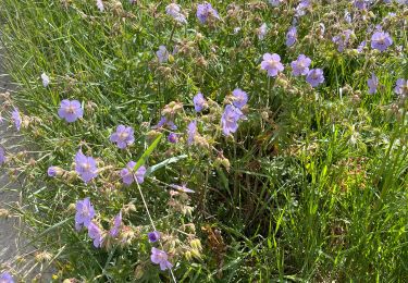
Wandern

Wandern

Wandern

Wandern


sport
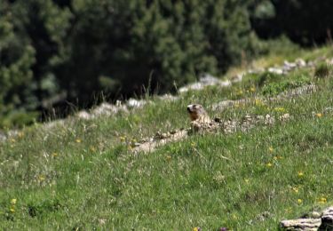
Wandern

Wandern
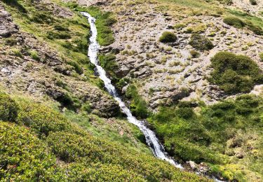
Wandern