


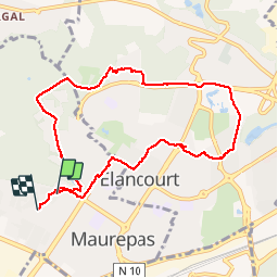

6,3 km | 8 km-effort

Benutzer


Kostenlosegpshiking-Anwendung
 SityTrail
IGN / Geografische Institute
SityTrail World
Die Welt öffnet sich für Sie
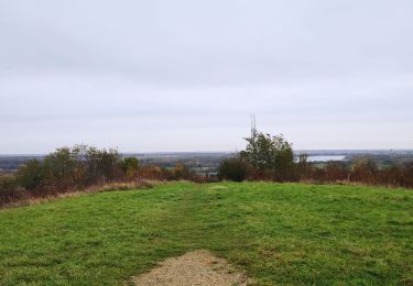
Tour Wandern von 8,6 km verfügbar auf Île-de-France, Yvelines, Maurepas. Diese Tour wird von jimch58 vorgeschlagen.
jusqu'à france miniature, à l'aller par le bois de maurepas et les élancourtines, au retour par les nouveaux horizons et les friches.


Wandern

Wandern

Wandern

Wandern

Wandern
Wandern
Zu Fuß
Mountainbike
Wandern