


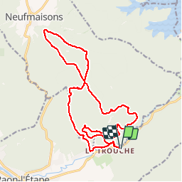

28 km | 37 km-effort


Benutzer GUIDE


Kostenlosegpshiking-Anwendung
 SityTrail
IGN / Geografische Institute
SityTrail World
Die Welt öffnet sich für Sie
Tour Mountainbike von 18,6 km verfügbar auf Großer Osten, Vogesen, Raon-l'Étape. Diese Tour wird von fabwin vorgeschlagen.
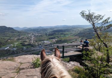
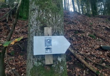
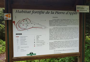
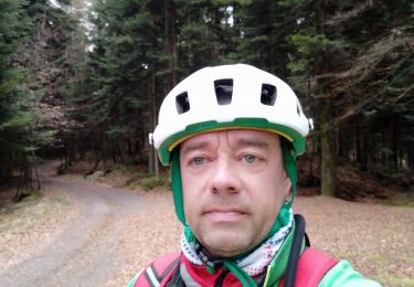
Sortie du jour avec Séb.
Un parcours moyen mais cela nous a permis de prendre l'air!!


Reiten
Wandern

Mountainbike
Wandern
Mountainbike
Mountainbike
Mountainbike
Mountainbike
Mountainbike