


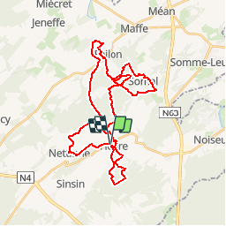

22 km | 28 km-effort


Benutzer


Kostenlosegpshiking-Anwendung
 SityTrail
IGN / Geografische Institute
SityTrail World
Die Welt öffnet sich für Sie
Tour Pfad von 35 km verfügbar auf Wallonien, Namur, Somme-Leuze. Diese Tour wird von daniel_2w vorgeschlagen.
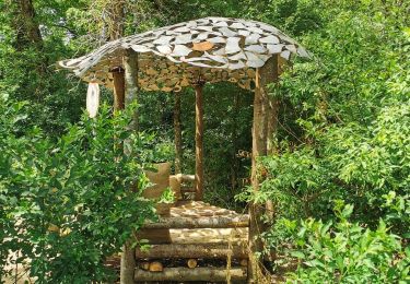
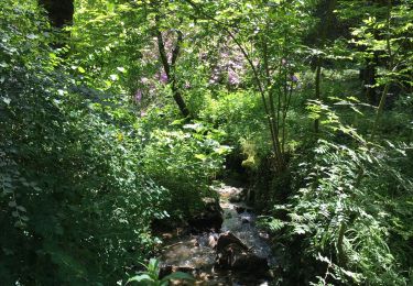
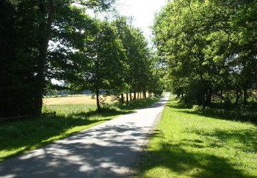
Ce circuit vous emmène dans les villages de Moressée, Ramezée, Somal, Failon dans le Condroz et de Nettinne. Un sentier en équilibre près de la Foulerie.
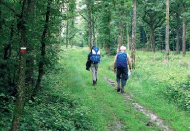
Wandern
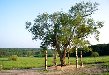
Wandern
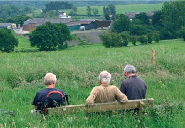
Wandern
Zu Fuß

Wandern

Wandern
Wandern
Wandern
Wandern