


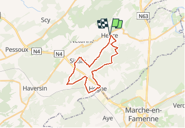

22 km | 28 km-effort


Benutzer


Kostenlosegpshiking-Anwendung
 SityTrail
IGN / Geografische Institute
SityTrail World
Die Welt öffnet sich für Sie
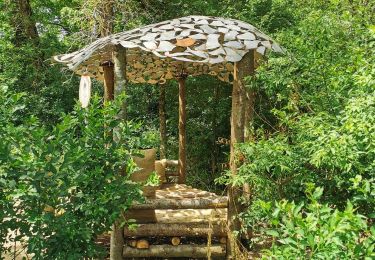
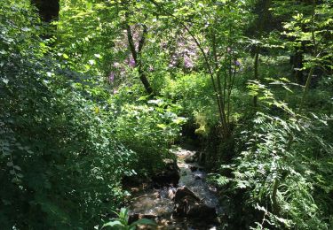
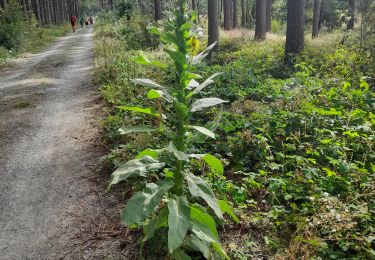
Tour Pfad von 22 km verfügbar auf Wallonien, Namur, Somme-Leuze. Diese Tour wird von daniel_2w vorgeschlagen.
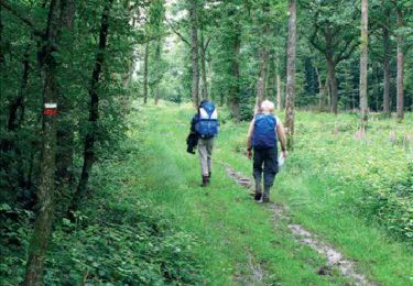
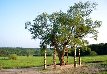
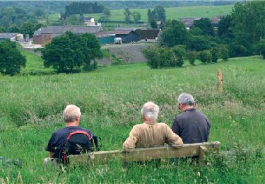
Ce circuit vous emmène dans les villages de Sinsin et de Hogne entre routes de campagnes et chemins boisés. Un itinéraire pas trop technique dans un paysage campagnard.
Wandern
Wandern
Wandern
Zu Fuß

Wandern

Wandern
Wandern
Wandern

Zu Fuß