


4,6 km | 7 km-effort


Benutzer


Kostenlosegpshiking-Anwendung
 SityTrail
IGN / Geografische Institute
SityTrail World
Die Welt öffnet sich für Sie
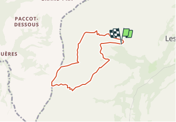
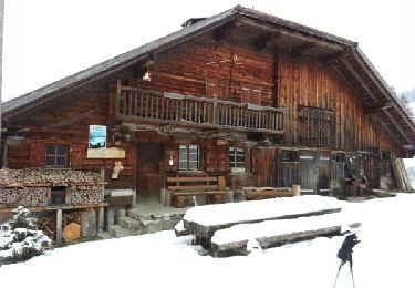
Tour Wandern von 6,6 km verfügbar auf Freiburg, Greyerzbezirk, Haut-Intyamon. Diese Tour wird von labrune vorgeschlagen.
2.15 h. marche réelle (GPS)
Sur Echelle 1 : 25000 Départ du point 1306 - Chenaletta - La Chia - Le Creux - 1479 - 1623 - 1839 - Chenau - dir. en Lys puis rejoindre point de départ 1306. Du point 1623 jusqu''au point 1839 assez raide (pas de sentier marqué ). Au point 1623 possibilité de prendre directement dir. Chenau.
Schneeschuhwandern

Schneeschuhwandern
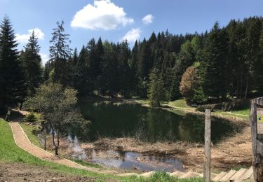
Wandern
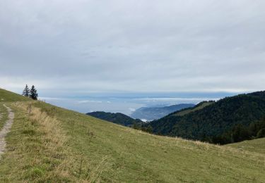
Wandern

Wandern
Schneeschuhwandern

Wandern
Wandern
Wandern