


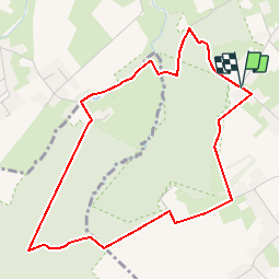

5,2 km | 6,4 km-effort

Benutzer


Kostenlosegpshiking-Anwendung
 SityTrail
IGN / Geografische Institute
SityTrail World
Die Welt öffnet sich für Sie
Tour Wandern von 4,4 km verfügbar auf Flandern, Ostflandern, Brakel. Diese Tour wird von koen.steenhoudt vorgeschlagen.
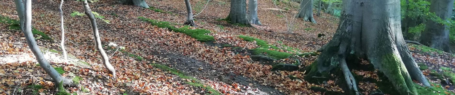
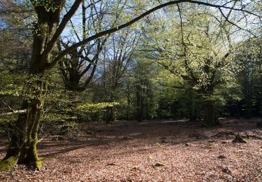
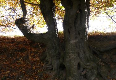
Not more than 4,5 km but with all ingredients of the Flemish Ardens: majestic beech trees and forest lanes, relief changes, freaking creek valleys and ropey landscapes ... and in spring - naturally - the eye catching carpets of white anemones and blue hyacinths.
Park the car near the corner of Kroonstraat with Hoogbos at Everbeek-Boven. Enter Haeyesbos. At node 86, leave the steep descent at your left, and go to the right. Make a wide turn along a beautiful hollow forest path and alongside an old chapel. After the white house, turn to the left, leaving the node network for a moment. At the next junction, turn to the right, cross the wooden bridge en follow a scenic path along the edge of a ropey meadow. At the next junction (node 87) turn left and follow a short lane bordered by hedges. This lane continues into the long majestic lane through Livierenbos, which you follow for 1 km, until node 35. Turn right en follow a small, winding path through a steep creek valley. A short climb brings you at the edge of Maandagkouter. Follow the edge of forest and farmland until a small paved road. Turn right and follow this road for 500 m, leaving node 36 at your right. Turn left, into a field track, following node 3, which you already reach after 100 m. Continue in the direction of node 86. After open farmland with a view on the southern edge of Haeyesbos, you are back at the starting point.


Wandern
Zu Fuß
Zu Fuß

Zu Fuß
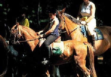
Pferd

Zu Fuß
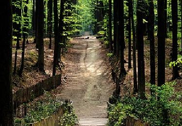
Zu Fuß

Zu Fuß