


14,8 km | 19,1 km-effort


Benutzer


Kostenlosegpshiking-Anwendung
 SityTrail
IGN / Geografische Institute
SityTrail World
Die Welt öffnet sich für Sie
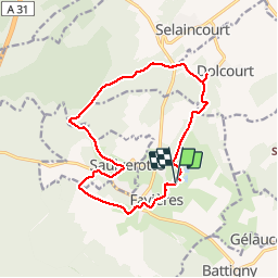
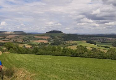
Tour Wandern von 14,2 km verfügbar auf Großer Osten, Mörthe und Mosel, Favières. Diese Tour wird von joelclaudel vorgeschlagen.
Belle randonnée variée.
Départ parking de la base de loisirs de Favières.
Balisage anneau vert.
En réalité 14,4 km dénivelé 230 m.
Zu Fuß
Zu Fuß
Reiten
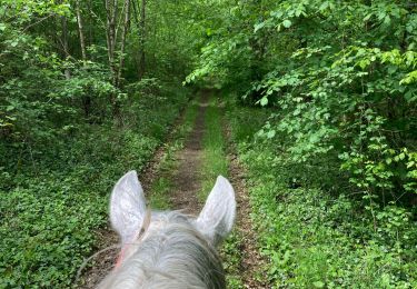
Reiten
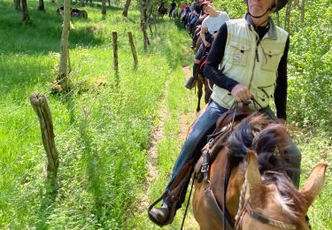
Reiten
Nordic Walking

Pferd
Reiten

Wandern