


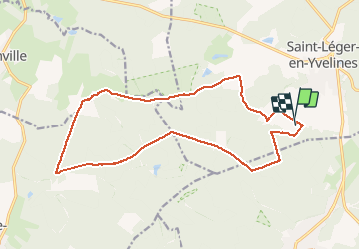

21 km | 25 km-effort


Benutzer


Kostenlosegpshiking-Anwendung
 SityTrail
IGN / Geografische Institute
SityTrail World
Die Welt öffnet sich für Sie
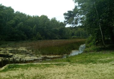
Tour Pferd von 17,2 km verfügbar auf Île-de-France, Yvelines, Saint-Léger-en-Yvelines. Diese Tour wird von Murielle.g7 vorgeschlagen.
Se grands trots, un galop, et des terrains variés, vallonnés... tout ce qu'on aime pour bien faire travailler son cheval tout en se faisant plaisir !
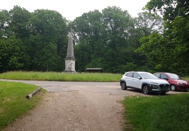
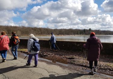
Wandern
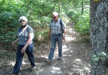
Wandern
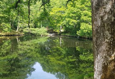
Wandern
Wandern
Wandern
Wandern
Wandern
Wandern
Andere Aktivitäten