


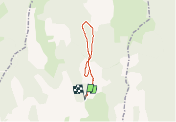

8,7 km | 12,6 km-effort


Benutzer


Kostenlosegpshiking-Anwendung
 SityTrail
IGN / Geografische Institute
SityTrail World
Die Welt öffnet sich für Sie
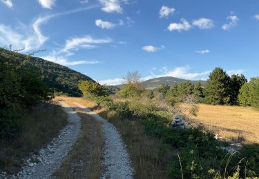
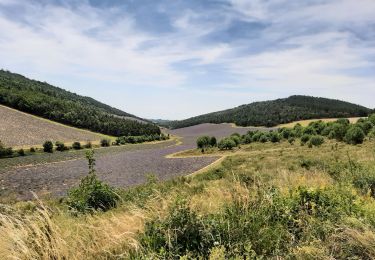
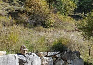
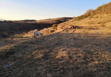
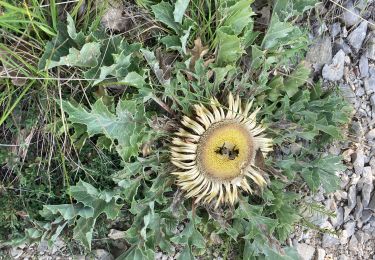
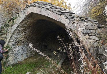
Tour Wandern von 5,5 km verfügbar auf Provence-Alpes-Côte d'Azur, Alpes-de-Haute-Provence, Redortiers. Diese Tour wird von ANDREJAC vorgeschlagen.
Départ et retour du Y entre Les Martins et Tinette
Montée par le GRP Tour de la Montagne de Lure, retour par la crète Coulet du Bastard.
Wandern
Wandern
Wandern
Wandern
Wandern
Wandern
Wandern
Wandern
Wandern