


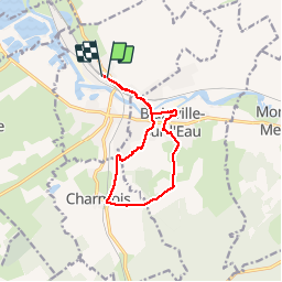

9,4 km | 11,7 km-effort


Benutzer


Kostenlosegpshiking-Anwendung
 SityTrail
IGN / Geografische Institute
SityTrail World
Die Welt öffnet sich für Sie
Tour Wandern von 10,7 km verfügbar auf Großer Osten, Mörthe und Mosel, Damelevières. Diese Tour wird von joelclaudel vorgeschlagen.
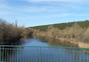
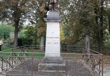
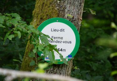
Sentiers de randonnée du Val de Meurthe.
Club Vosgien. Circuit balisé anneau vert
Départ gare de Blainville
Wandern
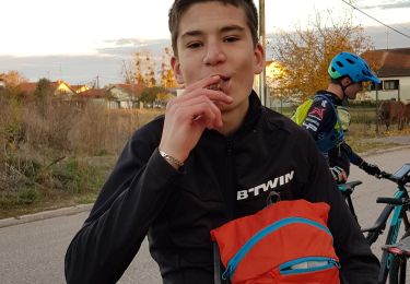
Mountainbike

Mountainbike

Mountainbike
Elektrofahrrad
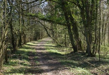
Wandern
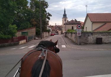
Kutsche fahren

Mountainbike
Wandern