


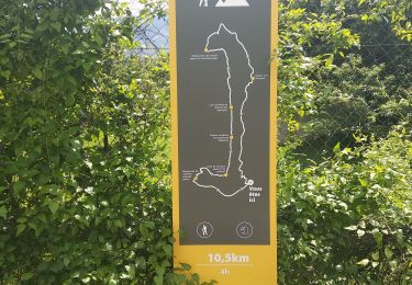
11,2 km | 19,6 km-effort

Benutzer


Kostenlosegpshiking-Anwendung
 SityTrail
IGN / Geografische Institute
SityTrail World
Die Welt öffnet sich für Sie
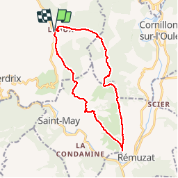
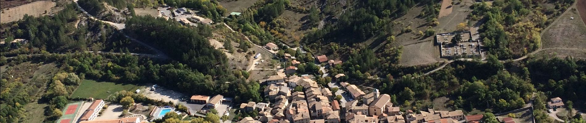
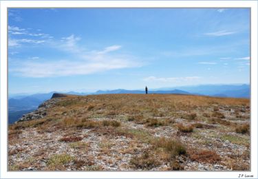
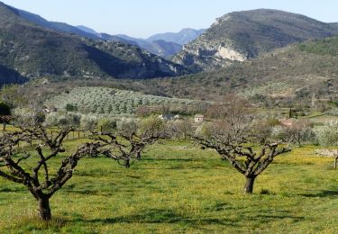
Tour Wandern von 15,2 km verfügbar auf Auvergne-Rhone-Alpen, Drôme, Villeperdrix. Diese Tour wird von ajd26 vorgeschlagen.
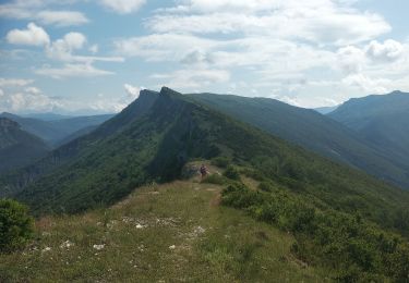
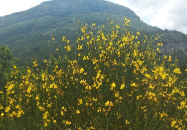
Départ de Leoux, col du Pensier, crêtes du plateau jusqu’à La Croix du Caire, panorama sur Remuza et retour par l’abbaye de Bodon. Pendant toute la rando, les vautours nous accompagnent


Wandern
Wandern

Wandern
Wandern

Wandern

Wandern
Wandern
Wandern
Wandern