


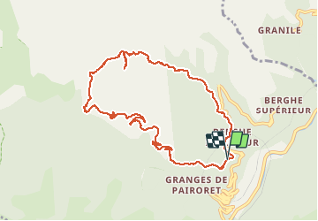

13,9 km | 27 km-effort

Benutzer


Kostenlosegpshiking-Anwendung
 SityTrail
IGN / Geografische Institute
SityTrail World
Die Welt öffnet sich für Sie
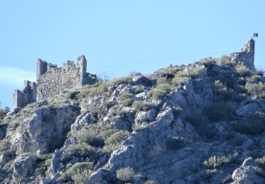
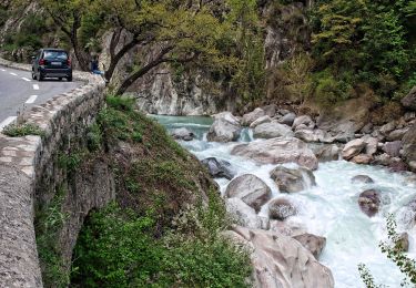
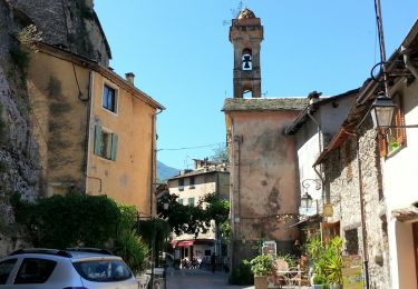
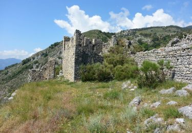
Tour Wandern von 10,7 km verfügbar auf Provence-Alpes-Côte d'Azur, Seealpen, Fontan. Diese Tour wird von aris vorgeschlagen.
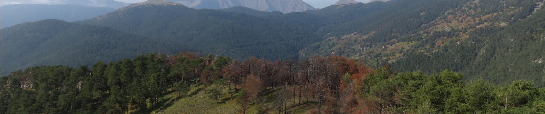
Couleurs d'automne, chataignes et champignons pour cette boucle facile. Belle vue panoramique au sommet de la cime de Corvo.


Zu Fuß

Zu Fuß
Zu Fuß
Zu Fuß
Zu Fuß
Zu Fuß
Wandern
Wandern

Wandern