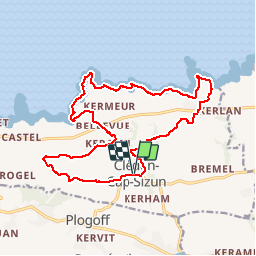

9,5 km | 12,2 km-effort

Benutzer


Kostenlosegpshiking-Anwendung
 SityTrail
IGN / Geografische Institute
SityTrail World
Die Welt öffnet sich für Sie
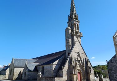
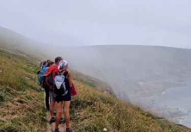
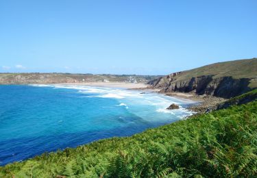
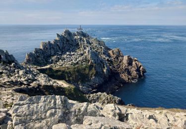
Tour Wandern von 18,3 km verfügbar auf Bretagne, Finistère, Cléden-Cap-Sizun. Diese Tour wird von RonanDAGORN vorgeschlagen.
Randonnée rallongée par rapport à celle figurant dans le topo guide de la FFRP "Le pays bigouden, le pays de Douarnenez et le Cap Sizun à pied"


Andere Aktivitäten
Wandern
Wandern
Wandern

Wandern
Wandern

Wandern
Wandern