


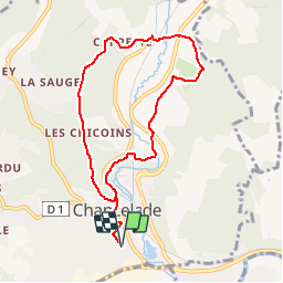

9 km | 10,7 km-effort

Club de randonnées


Kostenlosegpshiking-Anwendung
 SityTrail
IGN / Geografische Institute
SityTrail World
Die Welt öffnet sich für Sie
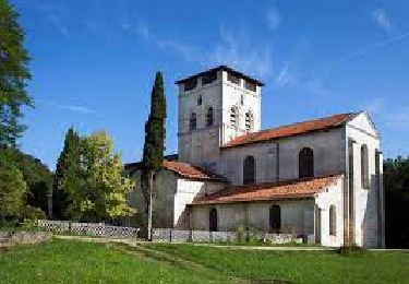
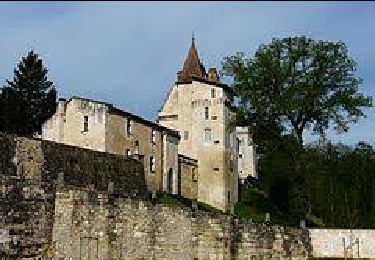
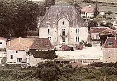
Tour Zu Fuß von 8,4 km verfügbar auf Neu-Aquitanien, Dordogne, Chancelade. Diese Tour wird von Les Ardents du pied vorgeschlagen.
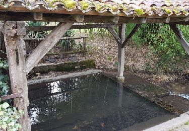
Randonnée sur le même circuit que celui de 12 km avec retour par Maison carrée, après traversée de la route d'Angoulême pour rejoindre le hameau de Beauronne.
Wandern
Wandern
Wandern
Wandern
Wandern
Laufen
Wandern

Wandern
Wandern