12 km | 14,1 km-effort
Flancourt Catelon
MichelRando7656
Benutzer
Länge
10 km
Maximale Höhe
136 m
Positive Höhendifferenz
92 m
Km-Effort
11,2 km
Min. Höhe
87 m
Negative Höhendifferenz
90 m
Boucle
Ja
Erstellungsdatum :
2019-10-10 12:05:53.277
Letzte Änderung :
2019-10-10 15:16:10.779
3h07
Schwierigkeit : Einfach
Kostenlosegpshiking-Anwendung
Über SityTrail
Tour Wandern von 10 km verfügbar auf Normandie, Eure, Flancourt-Crescy-en-Roumois. Diese Tour wird von MichelRando7656 vorgeschlagen.
Beschreibung
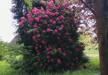
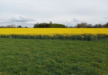
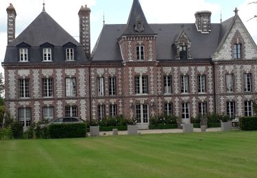
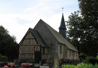
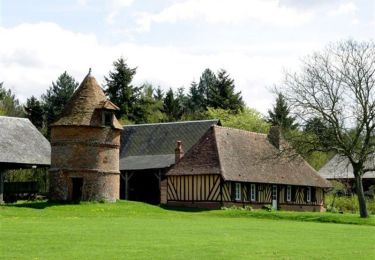
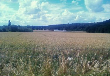
Beau parcours de chemins variés avec quelques petites routes de campagne.
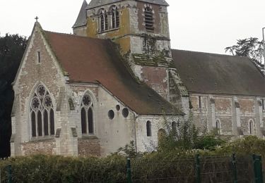
Belles demeures et belles églises
Ort
Land:
France
Region :
Normandie
Abteilung/Provinz :
Eure
Kommune :
Flancourt-Crescy-en-Roumois
Standort:
Unknown
Gehen Sie:(Dec)
Gehen Sie:(UTM)
338061 ; 5466816 (31U) N.
Kommentare
Touren in der Umgebung
Berville en Roumois Circuits des Châteaux (116)
Wandern
Einfach
(2)
Les Monts du Roumois,
Normandie,
Eure,
France
3h 4min
Ja
Illeville sur Montfort - Le circuit des Jacinthes - La Ferme de Fourges
Wandern
Schwierig
(1)
Illeville-sur-Montfort,
Normandie,
Eure,
France
12,3 km | 14,4 km-effort
3h 13min
Ja
Illeville-sur-Monfort - Le circuit des Jacinthes
Wandern
Schwierig
(2)
Illeville-sur-Montfort,
Normandie,
Eure,
France
12,3 km | 14,5 km-effort
3h 8min
Ja
Routot , Croix - Sainte-Marie , La Haie de Routot
Wandern
Schwierig
Routot,
Normandie,
Eure,
France
13,7 km | 15,6 km-effort
4h 5min
Ja
La belle Epine
Wandern
Einfach
(2)
Bourg-Achard,
Normandie,
Eure,
France
10,1 km | 11 km-effort
3h 15min
Ja
Bosc-Renoult en Roumois- Randonnée à ma campagne - 9,6km
Wandern
Einfach
(2)
Thénouville,
Normandie,
Eure,
France
9,7 km | 11,6 km-effort
2h 58min
Ja
Circuit du Val - Theillement
Pferd
Medium
(1)
Thénouville,
Normandie,
Eure,
France
10,7 km | 12,3 km-effort
1h 45min
Ja
Circuit du Val - Theillement
Wandern
Medium
(1)
Thénouville,
Normandie,
Eure,
France
10,7 km | 12,3 km-effort
2h 40min
Ja
Circuit des vallées et collines du Dour - Bosc-Renoult-en-Roumois
Pferd
Schwierig
Thénouville,
Normandie,
Eure,
France
13,5 km | 16,9 km-effort
2h 30min
Ja
Beaux sentiers.Peu de routes goudronnées.
galère au départ avec le gps